Schwabach, Medieval district capital in Middle Franconia, Germany
Schwabach is a district town in Middle Franconia that includes four local parts and sits at an elevation of roughly 326 meters above sea level. The town area lies between larger Franconian settlements and spreads over gentle hills and smaller river valleys that give the landscape a varied character.
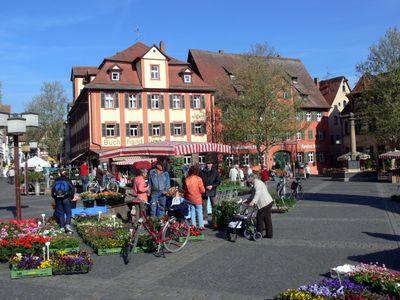
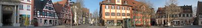
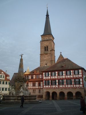
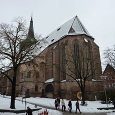
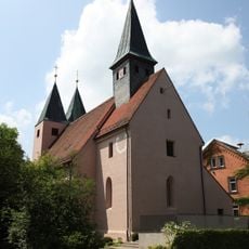
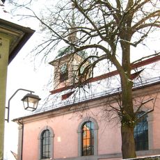
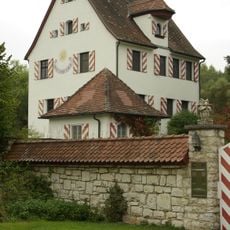
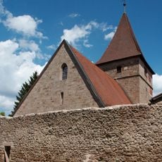
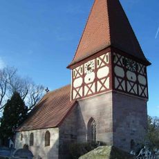
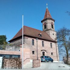
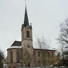
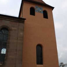
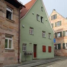
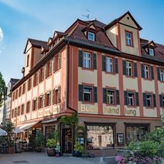
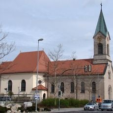
The settlement received town rights in 1371, which made it an official trading center in the region. Over the following centuries, central buildings such as the parish church and town hall were constructed, shaping the local appearance that remains today.
The name comes from a small stream that flows through the area. Walking through the old quarters today, you'll notice workshops and small shops that still reflect the town's long connection to goldbeating, an industry that produced thin sheets of gold for gilding and decoration.
The town sits close to main roads, making it straightforward for visitors to find their way when arriving from different directions. The local railway station offers connections to Nuremberg and other nearby settlements, which makes planning a day trip easier.
The local museum houses a collection of decorated eggs, including a piece by Fabergé, that shows craftsmanship from several eras. Typesetters here also developed the Schwabacher font around 1500, which later appeared in the first German Bible translation.
The community of curious travelers
AroundUs brings together thousands of curated places, local tips, and hidden gems, enriched daily by 60,000 contributors worldwide.