
Stadel, giebelständiger Halbwalmdachbau mit rustiziertem Segmentbogentor, Anfang 19. Jahrhundert
Location: Amberg
Address: Regensburger Straße 34
GPS coordinates: 49.44295,11.87007
Latest update: June 2, 2025 17:38
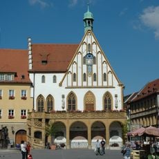
Town Hall of Amberg
860 m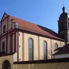
Paulanerkloster Amberg
728 m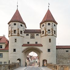
Nabburger Tor
567 m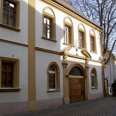
Synagogue (Amberg)
847 m
Stadtmuseum Amberg
774 m
Spitalkirche
804 m
Paulanerkirche
720 m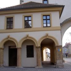
Ehemaliges Torwärterhaus
574 m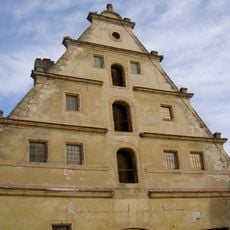
Paulanerplatz 17
647 m
Hallplatz 2
830 m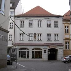
Herrnstraße 2
862 m
Paulanergasse 18
767 m
Wohnhaus
709 m
Paulanerplatz 7
700 m
Salzgasse 6
880 m
Ziegelgasse 7
851 m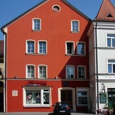
Salzstadelplatz 1
857 m
Stadtbefestigung beim Kaiser-Ludwig-Ring
568 m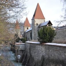
Stadtbefestigung bei der Langen Gasse
568 m
Ehemalige Büttnerei
821 m
Ehemaliges Militärlazarett, jetzt Amtsgericht
763 m
Raseliushaus
865 m
Paulanergasse 14
768 m
FLIKA Amberg
607 m
Salzstadelplatz 3
861 m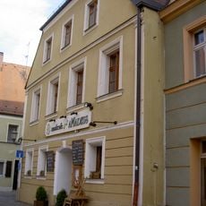
Salzstadelplatz 5
856 m
Rathausstraße 4
832 m
Paulanerplatz 13
678 mReviews
Visited this place? Tap the stars to rate it and share your experience / photos with the community! Try now! You can cancel it anytime.
Discover hidden gems everywhere you go!
From secret cafés to breathtaking viewpoints, skip the crowded tourist spots and find places that match your style. Our app makes it easy with voice search, smart filtering, route optimization, and insider tips from travelers worldwide. Download now for the complete mobile experience.

A unique approach to discovering new places❞
— Le Figaro
All the places worth exploring❞
— France Info
A tailor-made excursion in just a few clicks❞
— 20 Minutes