Amberg, Medieval town in Upper Palatinate, Germany
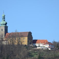
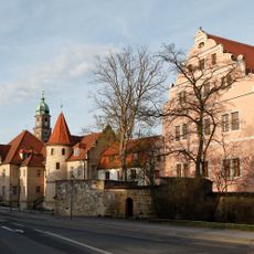
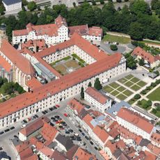
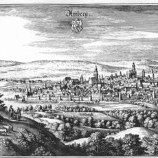
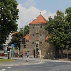
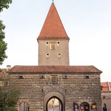
Amberg is a town in the Upper Palatinate region of Bavaria, enclosed by an almost complete circuit of medieval walls with defensive towers still standing along the perimeter. The Vils River runs through the old center, bordered by narrow lanes and stone houses that radiate from the central market square.
The settlement was first recorded in writing during the 11th century and grew into a trading hub for iron ore during the late medieval period. It later became a residence town for the Wittelbach dynasty and endured multiple sieges during the Thirty Years War.
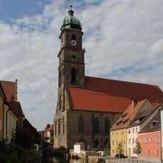
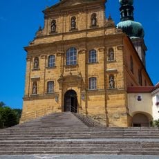
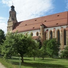
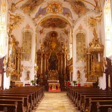
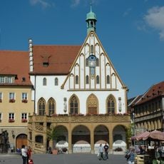
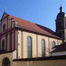
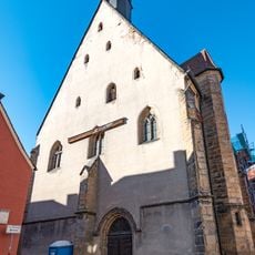
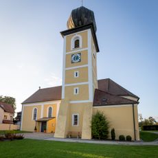
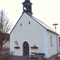
Locals gather in the old market square for weekly markets and festivals, keeping traditions alive in a setting shaped by centuries of Upper Palatinate heritage. The Gothic parish church serves as a focal point for the community, with its interior reflecting the devotional life that has continued through generations.
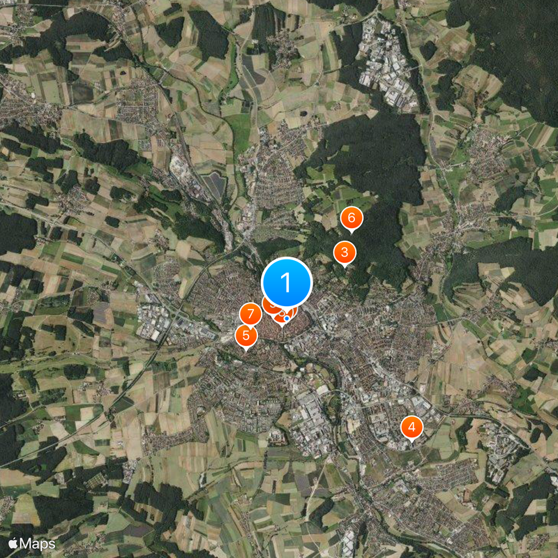
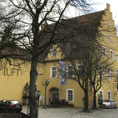
The old center is compact enough to explore on foot, with most points of interest located within easy walking distance inside the wall circuit. Parking areas are found outside the historic core, and signposted paths lead through the gates into the main streets.
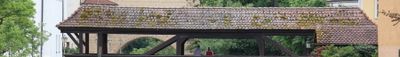
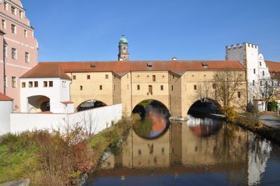
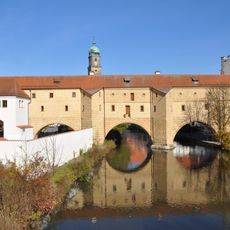
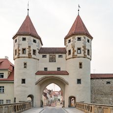
The fortified bridge crossing the river creates a symmetrical reflection in the water below, forming an image that resembles a pair of spectacles when viewed from the right angle. The two arches run parallel and gave the structure its local nickname, now a recognizable symbol throughout the region.
The community of curious travelers
AroundUs brings together thousands of curated places, local tips, and hidden gems, enriched daily by 60,000 contributors worldwide.