
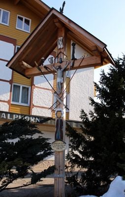
Arma-Christi-Wegkreuz, bäuerliches Holzkreuz, wohl Mitte 19. Jahrhundert; an der Stelle der ehemaligen Pfarrkirche
Location: Oberstaufen
Address: In Steibis
GPS coordinates: 47.52892,10.02424
Latest update: March 10, 2025 22:33

Buchenegg Waterfalls
1.9 km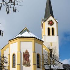
St. Peter and Paul church Oberstaufen
2.8 km
Golf Oberstaufen-Steibis
1 km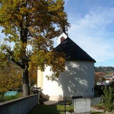
Friedhofskapelle Oberstaufen
2.6 km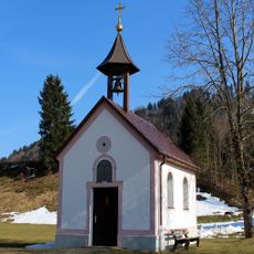
Weilerkapelle
1.9 km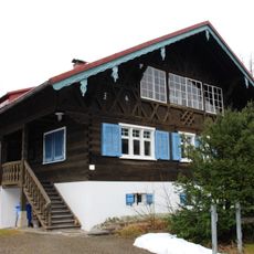
Weißachstraße 14, Oberstaufen
2.2 km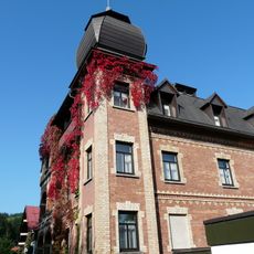
Villa
2.8 km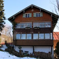
Zur Holzschleife
1.6 km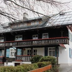
Alpenrosenweg 6, Oberstaufen
2.7 km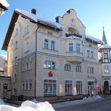
Bankgebäude
2.7 km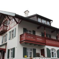
Alpenrosenweg 2, Oberstaufen
2.7 km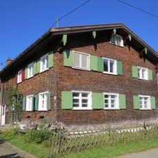
Ehemaliges Kleinbauernhaus
1.7 km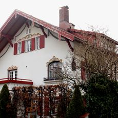
Alpenrosenweg 4, Oberstaufen
2.7 km
Kalvarienberg (Oberstaufen)
2.7 km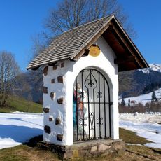
Bildstock St. Georg
586 m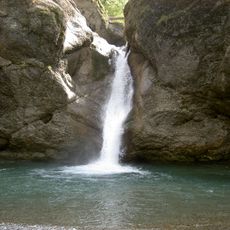
Oberes Weißachtal mit Lanzen-, Katzen- und Mittelbach
2.4 km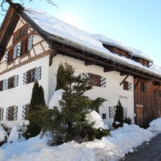
Ehemaliges Handwerkerhaus
2.6 km
Ehemalige Kornschranne
2.8 km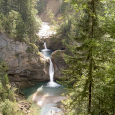
Achrain
883 m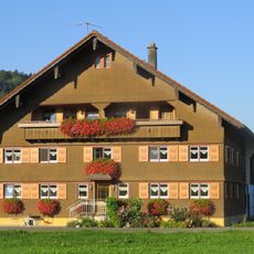
Wohnteil eines Bauernhauses
1.4 km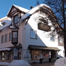
Wohnhaus
2.7 km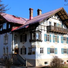
Mühlenstraße 15
1.8 km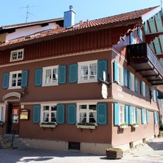
Bahnhofstraße 4, Oberstaufen
2.8 km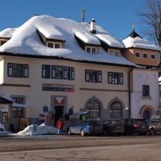
Ehemaliges Postamt
2.8 km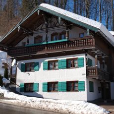
Sog. Mesnerhaus
2.7 km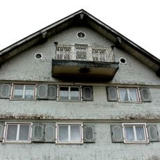
Weißachstraße 7, Oberstaufen
2.5 km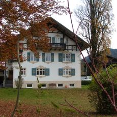
Wohnteil eines ehemaligen Bauernhauses
1.9 km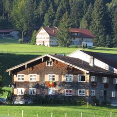
Wohnteil eines Bauernhauses
1.5 kmVisited this place? Tap the stars to rate it and share your experience / photos with the community! Try now! You can cancel it anytime.
Discover hidden gems everywhere you go!
From secret cafés to breathtaking viewpoints, skip the crowded tourist spots and find places that match your style. Our app makes it easy with voice search, smart filtering, route optimization, and insider tips from travelers worldwide. Download now for the complete mobile experience.

A unique approach to discovering new places❞
— Le Figaro
All the places worth exploring❞
— France Info
A tailor-made excursion in just a few clicks❞
— 20 Minutes