
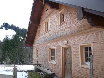
Wuchers Alpe, wuchers Alpe, erdgeschossiger, verschindelter bzw. verputzter Blockbau über Bruchsteinsockel mit Satteldach und Wiederkehr, im Kern um 1840; nordöstlich von Kalzhofen, etwa 900 m Höhe
Location: Oberstaufen
Address: Wuchers Alpe
GPS coordinates: 47.56773,10.05973
Latest update: March 18, 2025 06:55
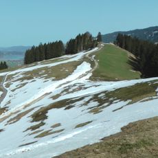
Hündlekopf
3 km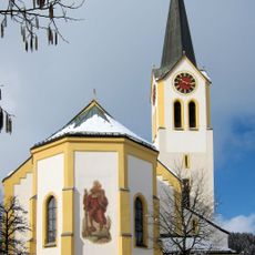
St. Peter and Paul church Oberstaufen
3.2 km
Staufner Berg
2.3 km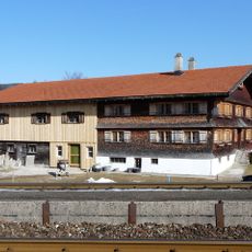
Heimatmuseum Oberstaufen
3 km
Hündle Bahn
2.3 km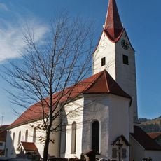
St. Johannes Baptist
2.8 km
Rectory
2.9 km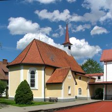
Lourdeskapelle
2 km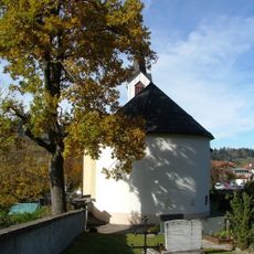
Friedhofskapelle Oberstaufen
3 km
Alpenrosenweg 2, Oberstaufen
3.2 km
Alpenrosenweg 6, Oberstaufen
3.2 km
Wohnhaus
2.7 km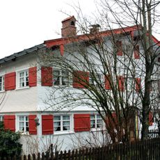
Arnikaweg 1 und 3, Oberstaufen
3.1 km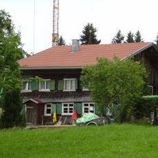
Tronsberg 2, Oberstaufen
906 m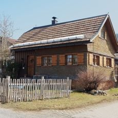
Ehemaliges Austragshaus
2.8 km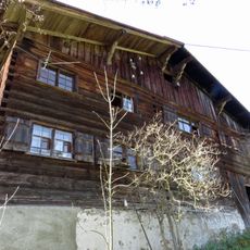
Bauernhaus
3 km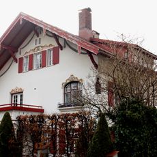
Alpenrosenweg 4, Oberstaufen
3.2 km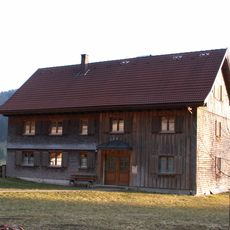
Ehemaliges Kleinbauernhaus
1.5 km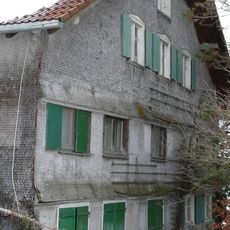
Bauernhaus
715 m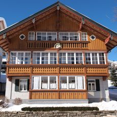
Wohnhaus
3 km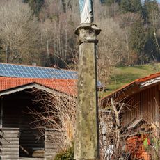
Mariensäule
2.1 km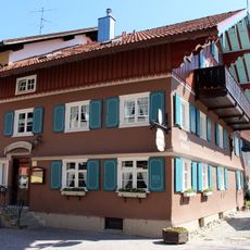
Bahnhofstraße 4, Oberstaufen
3.1 km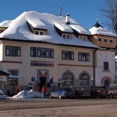
Ehemaliges Postamt
3 km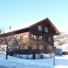
Ehemaliges Bauernhaus
2.6 km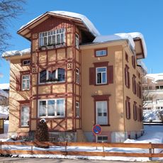
Wohnhaus
2.9 km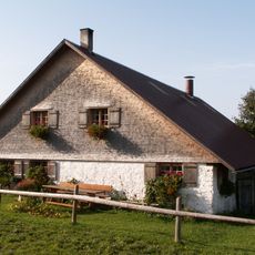
Hompessen Alpe
972 m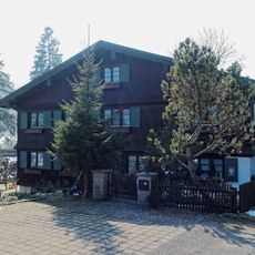
Ehemaliges Bauernhaus
1.5 km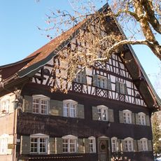
Gasthaus zur Traube
2.7 kmReviews
Visited this place? Tap the stars to rate it and share your experience / photos with the community! Try now! You can cancel it anytime.
Discover hidden gems everywhere you go!
From secret cafés to breathtaking viewpoints, skip the crowded tourist spots and find places that match your style. Our app makes it easy with voice search, smart filtering, route optimization, and insider tips from travelers worldwide. Download now for the complete mobile experience.

A unique approach to discovering new places❞
— Le Figaro
All the places worth exploring❞
— France Info
A tailor-made excursion in just a few clicks❞
— 20 Minutes