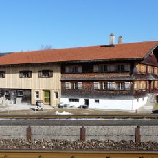
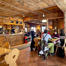
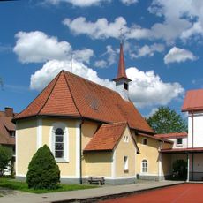
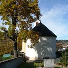
Staufner Berg, Mountain summit in Bavaria, Germany
Staufner Berg is a mountain summit in the Allgäu Alps reaching just over 1000 meters in the Oberallgäu district. Several hiking routes lead to the peak from nearby towns.
The name comes from a Celtic word originally describing a drinking vessel, later applied to cone-shaped peaks in the region. Over time the mountain became an important landmark for the area.
Locals still call the mountain Staufen, while Staufner Berg is the official name; the village at its foot took the name and became Oberstaufen in the 19th century. The cone shape was used as a landmark on the historic salt road.
Multiple marked trails lead from nearby Oberstaufen to the summit, with parking available at the valley station area. The routes are well marked and work for different fitness levels.
The mountain marks a major watershed dividing waters that flow toward opposite seas, creating a natural boundary across the landscape. This division is visible in how water runs down either side of the peak.
The community of curious travelers
AroundUs brings together thousands of curated places, local tips, and hidden gems, enriched daily by 94,454 contributors worldwide.