
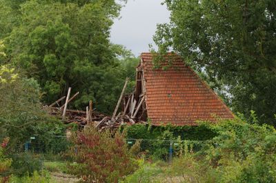
Ehemalige Klostermühle, building in Röthlein, Lower Franconia, Germany
Location: Röthlein
Address: An der Mühlstraße
GPS coordinates: 49.96216,10.20070
Latest update: March 12, 2025 15:43
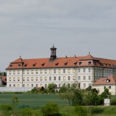
Kloster Heidenfeld
315 m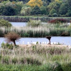
Vogelschutzgebiet Garstadt
1.4 km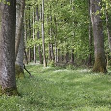
Elmuß
2.2 km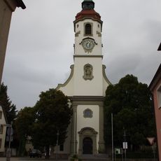
Pfarrkirche
545 m
Garstadter Holz
2.1 km
Erweiterung des Vogelschutzgebietes Garstadt
1.2 km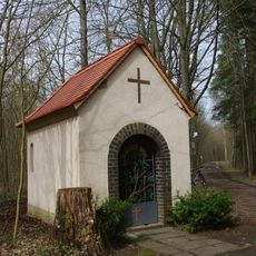
Kapelle
2 km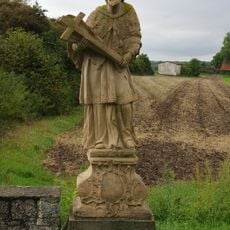
St. Nepomuk-Statue
331 m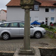
Säulenbildstock
2 km
Wegkreuz
2 km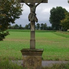
Wegkreuz
1.4 km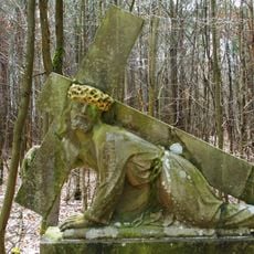
Kreuzschlepper
2.1 km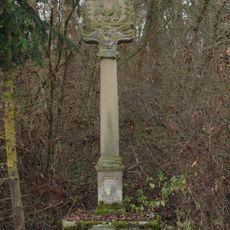
Bildstock
2.2 km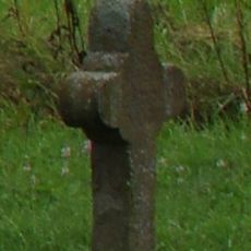
Steinkreuz
95 m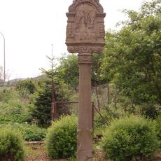
Bildstock
2.3 km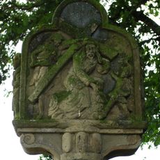
Bildstock
2.1 km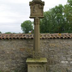
Bildstock
206 m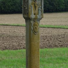
Bildstock
767 m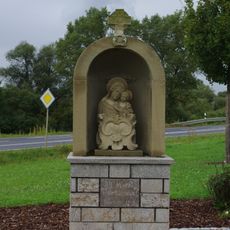
Bildstock
1.7 km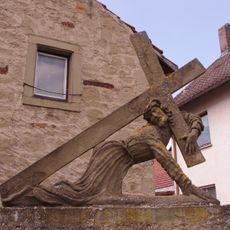
Kreuzschlepper
2.3 km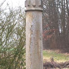
Bildstock
1.8 km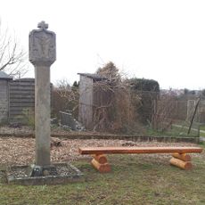
Bildstock
656 m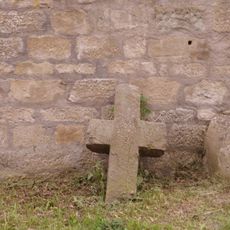
Sühnekreuz
2.3 km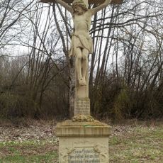
Wegkreuz
2.1 km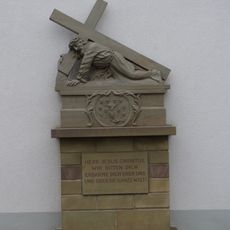
Kreuzschlepper
2 km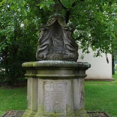
Prozessionsaltar
2 km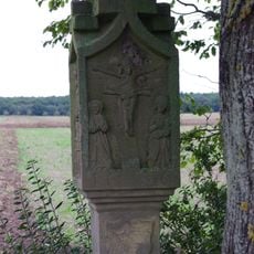
Bildstock
576 m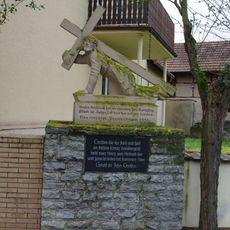
Kreuzschlepper
2.1 kmVisited this place? Tap the stars to rate it and share your experience / photos with the community! Try now! You can cancel it anytime.
Discover hidden gems everywhere you go!
From secret cafés to breathtaking viewpoints, skip the crowded tourist spots and find places that match your style. Our app makes it easy with voice search, smart filtering, route optimization, and insider tips from travelers worldwide. Download now for the complete mobile experience.

A unique approach to discovering new places❞
— Le Figaro
All the places worth exploring❞
— France Info
A tailor-made excursion in just a few clicks❞
— 20 Minutes