
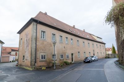
Klostergut, cultural heritage monument D-6-72-135-12 (0) in Münnerstadt, Bavaria
Location: Münnerstadt
Address: Deutschherrnstraße 16; Deutschherrnstraße 12
GPS coordinates: 50.25008,10.19639
Latest update: March 2, 2025 21:47
Pfarrkirche
87 m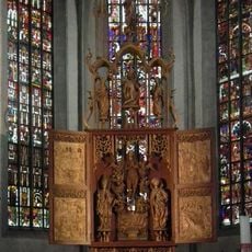
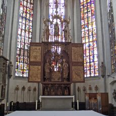
Münnerstädter altar
88 m
Wohnhaus
148 m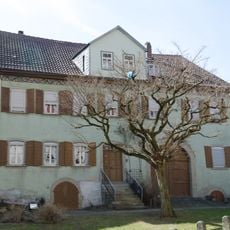
Bauernhof
135 m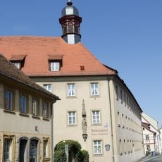
Altenpflegeheim
110 m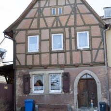
Wohnhaus
131 m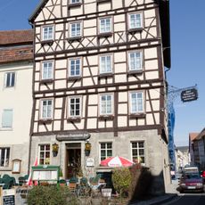
Gasthaus
152 m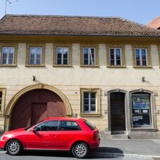
Wohnhaus
111 m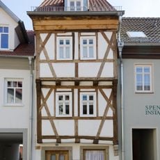
Wohnhaus
87 m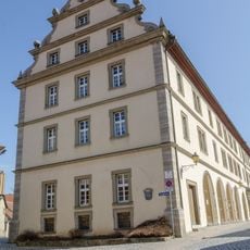
Zehntstadel
152 m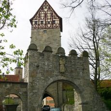
Torturm
140 m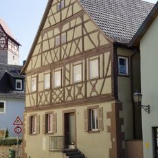
Wohnhaus
115 m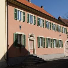
Wohnhaus
99 m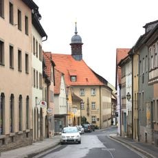
Wohnhaus
127 m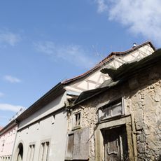
Nebengebäude
157 m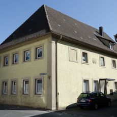
Mühle
58 m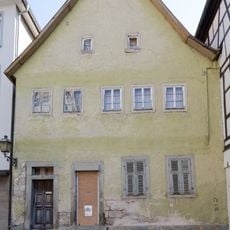
Wohnhaus
152 m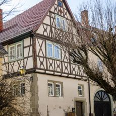
Mesnerhaus
125 m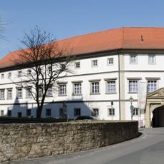
Komturei
39 m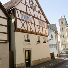
Wohnstallhaus
121 m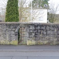
Bierkeller
48 m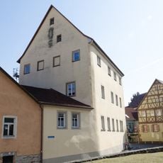
Amtshaus
87 m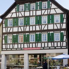
Wohnhaus
158 m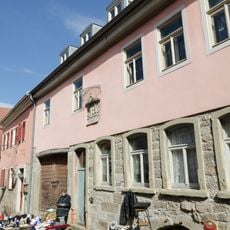
Dachstuhl
162 m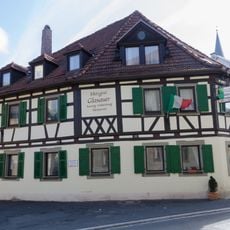
Gasthaus
81 m
Wohnhaus
77 m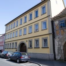
Wohnhaus
81 m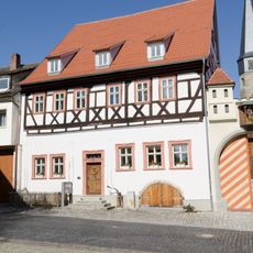
Wohnhaus
159 mReviews
Visited this place? Tap the stars to rate it and share your experience / photos with the community! Try now! You can cancel it anytime.
Discover hidden gems everywhere you go!
From secret cafés to breathtaking viewpoints, skip the crowded tourist spots and find places that match your style. Our app makes it easy with voice search, smart filtering, route optimization, and insider tips from travelers worldwide. Download now for the complete mobile experience.

A unique approach to discovering new places❞
— Le Figaro
All the places worth exploring❞
— France Info
A tailor-made excursion in just a few clicks❞
— 20 Minutes