
Grenzstein, nach oben leicht verjüngt, Sandstein, wohl frühes 16. Jahrhundert
Location: Kallmünz
Address: Mailerberg, an der St2165
GPS coordinates: 49.18428,11.93880
Latest update: March 28, 2025 07:59

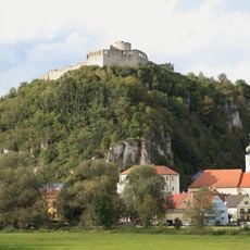
Burgruine Kallmünz
2.6 km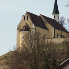
Wallfahrtskirche Maria Hilf
401 m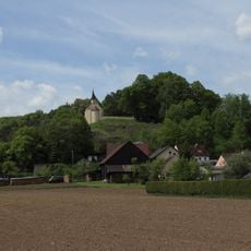
Burgstall Rohrbach
429 m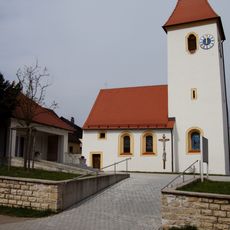
Hl. Dreifaltigkeit
321 m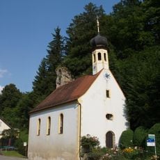
St. Leonhard (Traidendorf)
1.6 km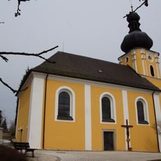
St. Pankratius
2.3 km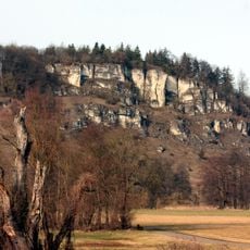
Eichenberg
2.4 km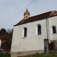
Maria vom guten Rat
1.9 km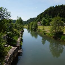
Lauterachtal und Vilstal (Ostseite)
1.5 km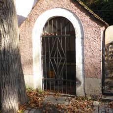
Wegkapelle Auf der Rast
2.6 km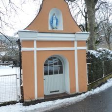
Wegkapelle hl. Johannes Nepomuk
1.5 km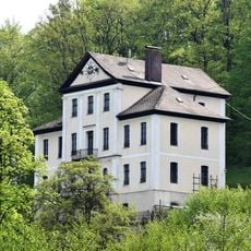
Fabrikantenvilla
1.3 km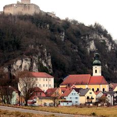
Schloßberg von Kallmünz
2.6 km
Wohnhaus
2.5 km
Ammelhof
2.4 km
Steinkreuz / Sühnekreuz
2.5 km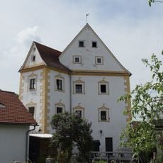
Hammerschloss Rohrbach
307 m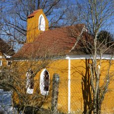
Hofkapelle Ammelhof 1 in Hohenfels (Oberpfalz)
2.4 km
Wohnhaus
2.6 km
Wohnhaus
2.5 km
Bauernhaus
2.7 km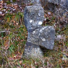
Steinkreuz
3 m
Ehemaliger Pfarrhof
2.7 km
Wohnhaus
2.6 km
Hochwassermarke
2.7 km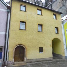
Wohnhaus
2.7 km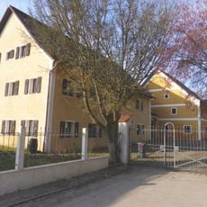
Schloss Lauf
1.9 km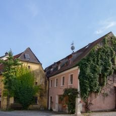
Wohnhaus
2.7 kmReviews
Visited this place? Tap the stars to rate it and share your experience / photos with the community! Try now! You can cancel it anytime.
Discover hidden gems everywhere you go!
From secret cafés to breathtaking viewpoints, skip the crowded tourist spots and find places that match your style. Our app makes it easy with voice search, smart filtering, route optimization, and insider tips from travelers worldwide. Download now for the complete mobile experience.

A unique approach to discovering new places❞
— Le Figaro
All the places worth exploring❞
— France Info
A tailor-made excursion in just a few clicks❞
— 20 Minutes