
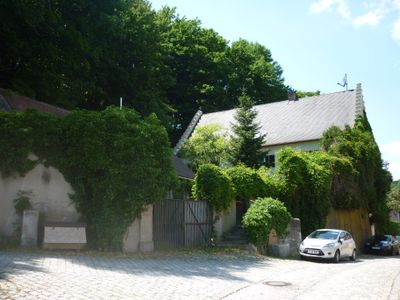
Ehem. Forsthaus, building in Wörth an der Donau, Upper Palatinate, Germany
Location: Wörth an der Donau
Address: Schloßstraße 32
GPS coordinates: 49.00077,12.40314
Latest update: March 11, 2025 13:04
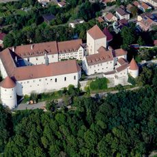
Schloss Wörth an der Donau
1.1 km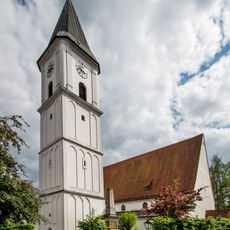
Pfarrkirche Sankt Peter in Wörth an der Donau
247 m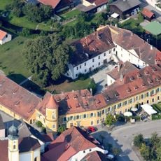
Schloss Wiesent
1.9 km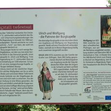
Burgstall Tiefenthal
2 km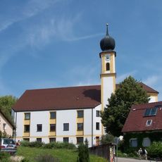
Mariä Himmelfahrt (Wiesent)
1.9 km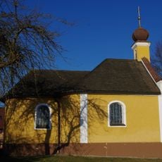
Kath. Nebenkirche Mariä Heimsuchung
2.4 km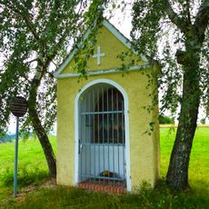
Votivkapelle 14 Nothelfer
1.5 km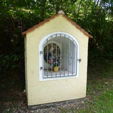
Wegkapelle
1.8 km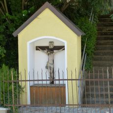
Wegkapelle
378 m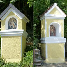
Zwei Kapellenbildstöcke
221 m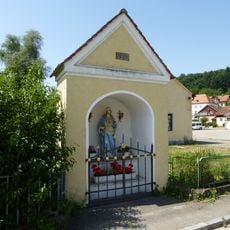
Wegkapelle
581 m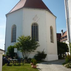
Kirche Schloßberg 1 in Wörth an der Donau
108 m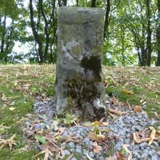
Grenzstein der ehem. Herrschaft Wiesent und des Hochstifts Regensburg
1.8 km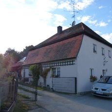
Wohnhaus
2.3 km
Kriegerdenkmal für die im deutsch-französischen Krieg 1870/71 Gefallenen
1.9 km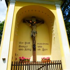
Kapelle
299 m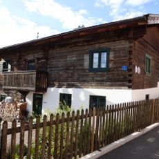
Ehem. Bauernhaus
1.9 km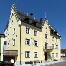
Rathaus
192 m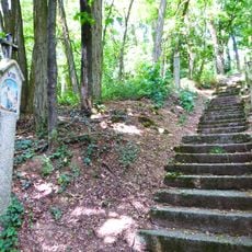
Kreuzweg
277 m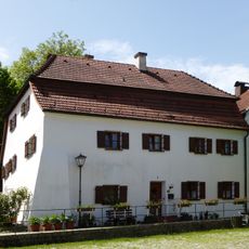
Wohnhaus
216 m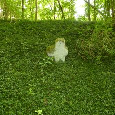
Steinkreuz
1.6 km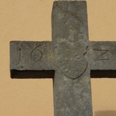
Steinkreuz
1.5 km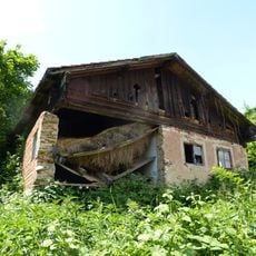
Kleinbauernhaus
231 m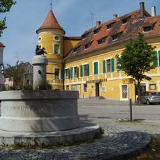
Schloss Wiesent
1.9 km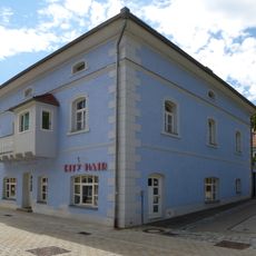
Wohn- und Geschäftshaus
198 m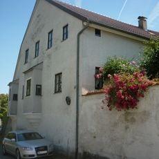
Ehem. Hofbäckerei
177 m
Ehem. Weißbräuhaus
151 m
Wohnhaus
214 mReviews
Visited this place? Tap the stars to rate it and share your experience / photos with the community! Try now! You can cancel it anytime.
Discover hidden gems everywhere you go!
From secret cafés to breathtaking viewpoints, skip the crowded tourist spots and find places that match your style. Our app makes it easy with voice search, smart filtering, route optimization, and insider tips from travelers worldwide. Download now for the complete mobile experience.

A unique approach to discovering new places❞
— Le Figaro
All the places worth exploring❞
— France Info
A tailor-made excursion in just a few clicks❞
— 20 Minutes