
Steinkreuz, wohl 16. Jh
Location: Wörth an der Donau
Address: Auf dem Kreuzstein
GPS coordinates: 49.00748,12.44272
Latest update: March 3, 2025 21:28
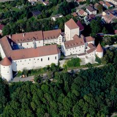
Schloss Wörth an der Donau
3.9 km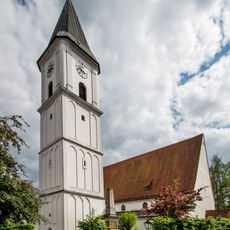
Pfarrkirche Sankt Peter in Wörth an der Donau
3.2 km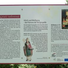
Burgstall Tiefenthal
1.8 km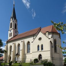
St. Michael
2 km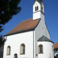
St. Matthäus
3.5 km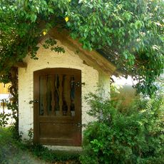
Wegkapelle
2.3 km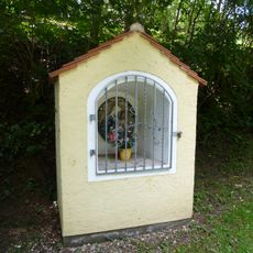
Wegkapelle
2.1 km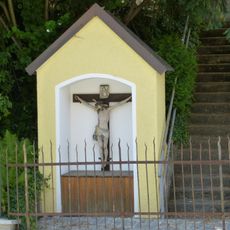
Wegkapelle
3.4 km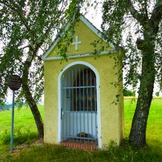
Votivkapelle 14 Nothelfer
3.1 km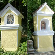
Zwei Kapellenbildstöcke
3 km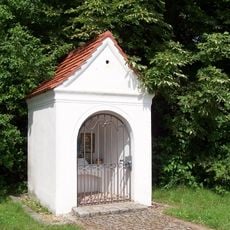
Kapelle
3.4 km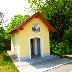
Wegkapelle St. Maria
3.2 km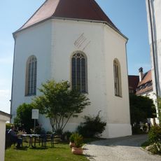
Kirche Schloßberg 1 in Wörth an der Donau
3.1 km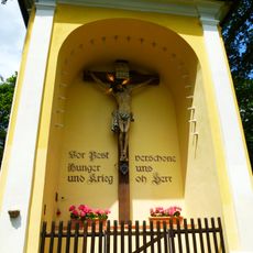
Kapelle
3 km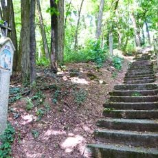
Kreuzweg
3.1 km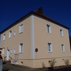
Ehem. Pfarrhaus
2 km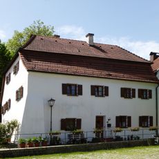
Wohnhaus
2.8 km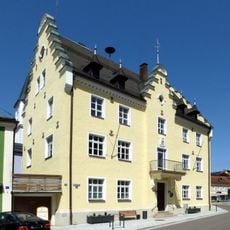
Rathaus
3.2 km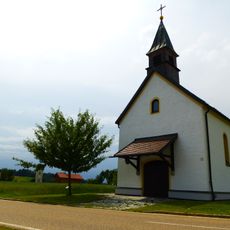
Nebenkirche
2.8 km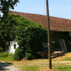
Wohnstallhaus
2.4 km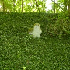
Steinkreuz
2.1 km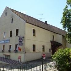
Gasthaus
2 km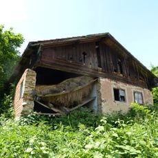
Kleinbauernhaus
2.8 km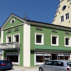
Wohnhaus
3.2 km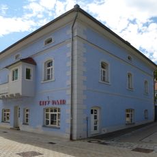
Wohn- und Geschäftshaus
3.1 km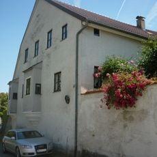
Ehem. Hofbäckerei
2.8 km
Ehem. Forsthaus
3 km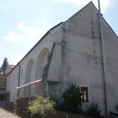
Ehem. Weißbräuhaus
2.8 kmReviews
Visited this place? Tap the stars to rate it and share your experience / photos with the community! Try now! You can cancel it anytime.
Discover hidden gems everywhere you go!
From secret cafés to breathtaking viewpoints, skip the crowded tourist spots and find places that match your style. Our app makes it easy with voice search, smart filtering, route optimization, and insider tips from travelers worldwide. Download now for the complete mobile experience.

A unique approach to discovering new places❞
— Le Figaro
All the places worth exploring❞
— France Info
A tailor-made excursion in just a few clicks❞
— 20 Minutes