
Mindorf-Linie des Main-Donau-Kanals
Mindorf-Linie des Main-Donau-Kanals, beton und Steinverkleidung, 1938–40
Location: Thalmässing
Address: Kriegel; nordöstlich vor dem Ort bei dem Minbach
GPS coordinates: 49.15115,11.22025
Latest update: March 11, 2025 13:24

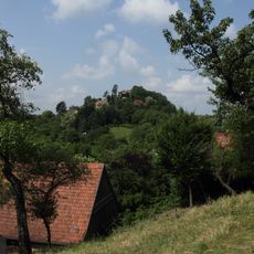
Burgruine Stauf
4 km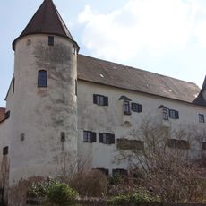
Schloss Eysölden
2.3 km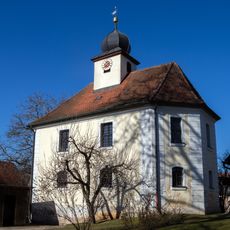
Christuskirche
4 km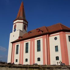
St. Thomas und Ägidius
2.4 km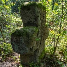
Steinkreuz bei Seiboldsmühle
4.6 km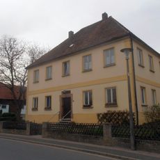
Ehemaliger katholischer Pfarrhof
2.9 km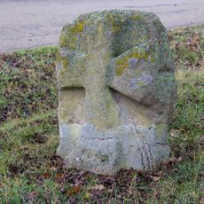
Kreuzstein bei Jahrsdorf
2.8 km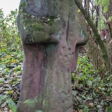
Kreuzstein bei Mindorf
1.9 km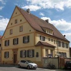
Pfarrhaus
4.6 km
Christoph-Sturm-Straße 18
4.6 km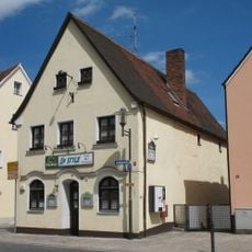
Christoph-Sturm-Straße 31
4.5 km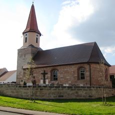
St. Walburga (Sindersdorf)
4.1 km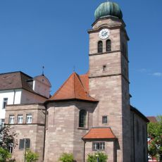
St. Walburga (Zell, Hilpoltstein)
2.7 km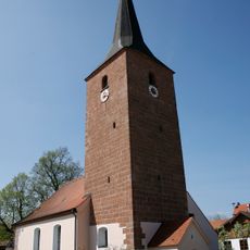
St. Michael
3 km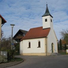
St. Thekla
4 km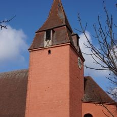
St. Stephan
1.6 km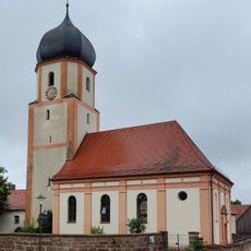
Mariä Geburt
2.7 km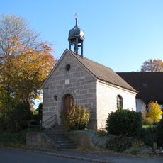
Katholische Ortskapelle
3.6 km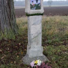
Bildstock bei Jahrsdorf
2.8 km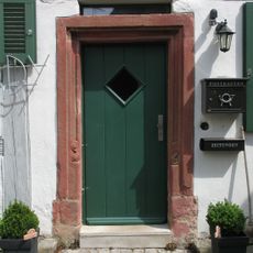
Türgewände
4.6 km
Doppelhaus
4.6 km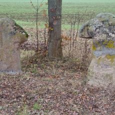
Steinkreuze bei Eysölden
1.7 km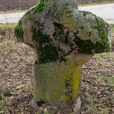
Steinkreuz 1 nördlich von Eysölden
1.7 km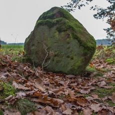
Kreuzstein bei Pyras
1.1 km
Ehemaliges Gasthaus
4.4 km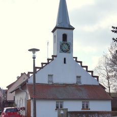
Ehemaliges Gemeindehaus
427 m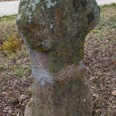
Steinkreuz 2 nördlich von Eysölden
1.7 km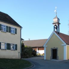
Katholische Ortskapelle
3.6 kmReviews
Visited this place? Tap the stars to rate it and share your experience / photos with the community! Try now! You can cancel it anytime.
Discover hidden gems everywhere you go!
From secret cafés to breathtaking viewpoints, skip the crowded tourist spots and find places that match your style. Our app makes it easy with voice search, smart filtering, route optimization, and insider tips from travelers worldwide. Download now for the complete mobile experience.

A unique approach to discovering new places❞
— Le Figaro
All the places worth exploring❞
— France Info
A tailor-made excursion in just a few clicks❞
— 20 Minutes