
Neunstetterstraße 11, 13, building in Herrieden, Middle Franconia, Germany
Location: Herrieden
Address: Neunstetterstraße 11; Neunstetterstraße 13
GPS coordinates: 49.23478,10.49408
Latest update: April 29, 2025 13:01

Herrnhof 20, 21, 22
379 m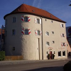
Fronveststraße 12 (Herrieden)
285 m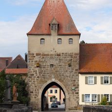
Storchenturm
367 m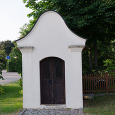
Dreifaltigkeitskapelle
307 m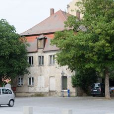
Marktplatz 18
352 m
Marktplatz 13 (Herrieden)
309 m
Vordere Gasse 1
284 m
Vogteiplatz 7
372 m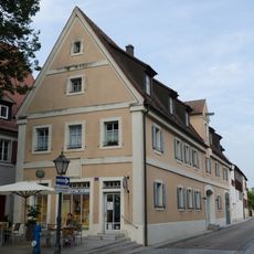
Ehemaliges Rathaus, auch Brothaus
366 m
Neunstetterstraße 1
109 m
Turmstraße 1
327 m
Marktplatz 11, 12 (Herrieden)
287 m
Marktplatz 8
314 m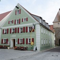
Marktplatz 4
353 m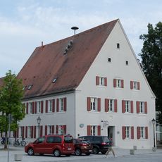
Marktplatz 2 (Herrieden)
349 m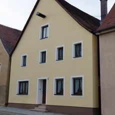
Neunstetterstraße 12
74 m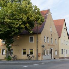
Neunstetterstraße 14
63 m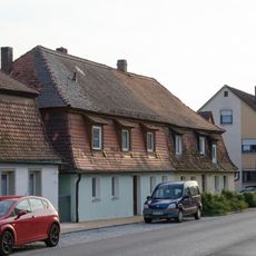
Neunstetterstraße 15, 17
21 m
Marktplatz 10
301 m
Fronveststraße 2
296 m
Wohngebäude, sogenanntes Jungfernhäusl
310 m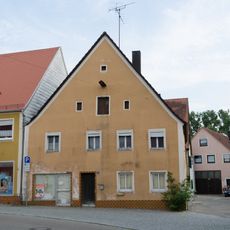
Vordere Gasse 13
184 m
Giebelhaus mit Volutengiebel
112 m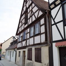
Wohngebäude
203 m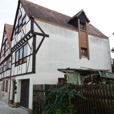
Wohngebäude
206 m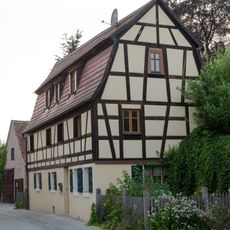
Wohnhaus
169 m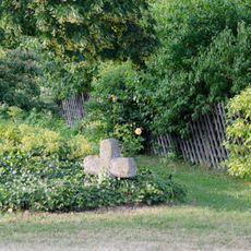
Steinkreuz in Herrieden
301 m
Storchenturm
355 mReviews
Visited this place? Tap the stars to rate it and share your experience / photos with the community! Try now! You can cancel it anytime.
Discover hidden gems everywhere you go!
From secret cafés to breathtaking viewpoints, skip the crowded tourist spots and find places that match your style. Our app makes it easy with voice search, smart filtering, route optimization, and insider tips from travelers worldwide. Download now for the complete mobile experience.

A unique approach to discovering new places❞
— Le Figaro
All the places worth exploring❞
— France Info
A tailor-made excursion in just a few clicks❞
— 20 Minutes