
Bauernhof, erdgeschossiges Wohnstallhaus, Sandstein, Mitte 19. Jahrhundert, im Kern 1700 (dendrochronologisch datiert)
Location: Roth
Address: Äußere Belmbracher Straße 4
GPS coordinates: 49.23017,11.09943
Latest update: March 28, 2025 17:13

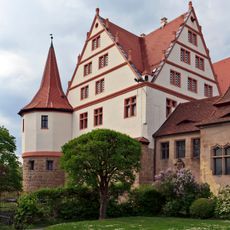
Schloss Ratibor
1.8 km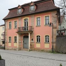
Altes Rathaus in Roth
1.9 km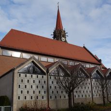
Mariä Aufnahme
1.6 km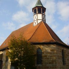
Kreuzkirche
1.6 km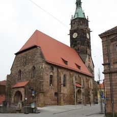
Stadtkirche
1.9 km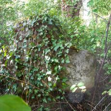
Steinkreuz am Friedhof in Roth
1.5 km
Kirchplatz 8
1.8 km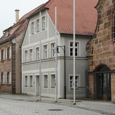
Kirchplatz 6
1.9 km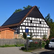
Scheune Gengsbuck 1 in Roth
22 m
Hauptstraße 11
1.9 km
Kugelbühlstraße 11a, 11b
1.8 km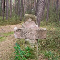
Steinkreuz bei Belmbrach
1.3 km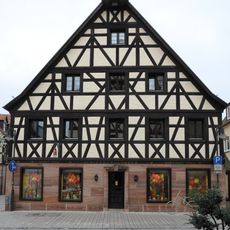
Hauptstraße 6
1.8 km
Kugelbühlstraße 23 (Roth bei Nürnberg)
1.9 km
Kugelbühlstraße 1
1.8 km
Münchener Straße 5
1.7 km
Hauptstraße 8
1.8 km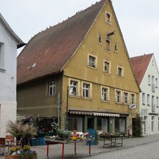
Hauptstraße 7
1.8 km
Kirchplatz 4 (Roth bei Nürnberg)
1.8 km
Hauptstraße 25
1.9 km
Hauptstraße 13
1.9 km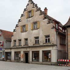
Hilpoltsteiner Straße 4
1.7 km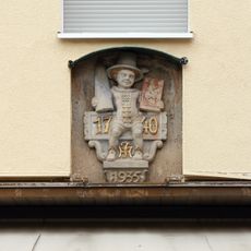
Relief an Hauptstraße 18
1.9 km
Hauptstraße 15
1.9 km
Residential and commercial building Kugelbühlstraße 34
1.9 km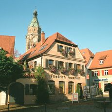
Wohnhaus
1.9 km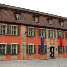
Seckendorff-Schlösschen
1.8 km
Hauptstraße 21, 23 (Roth bei Nürnberg)
1.9 kmReviews
Visited this place? Tap the stars to rate it and share your experience / photos with the community! Try now! You can cancel it anytime.
Discover hidden gems everywhere you go!
From secret cafés to breathtaking viewpoints, skip the crowded tourist spots and find places that match your style. Our app makes it easy with voice search, smart filtering, route optimization, and insider tips from travelers worldwide. Download now for the complete mobile experience.

A unique approach to discovering new places❞
— Le Figaro
All the places worth exploring❞
— France Info
A tailor-made excursion in just a few clicks❞
— 20 Minutes