
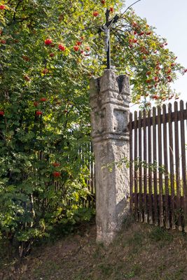
Bildstock, sandsteinsäule mit Eisenkreuz, 18. Jahrhundert
Location: Spalt
Address: Güsseldorfer Straße 8; südwestlich des Friedhofes an der Straße
GPS coordinates: 49.17871,10.92488
Latest update: March 2, 2025 23:42
Bürgerhaus
290 m
Wegkapelle
119 m
Stadtmauer
232 m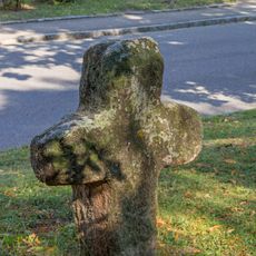
Steinkreuz 2 am Friedhof in Spalt
127 m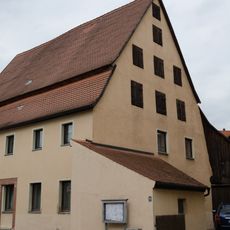
Ehemaliges Doppelwohnhaus
99 m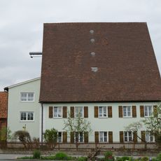
Ehemaliges Hopfenbauernhaus
83 m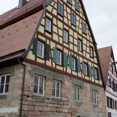
Bürgerhaus
244 m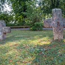
Zwei Steinkreuze am Friedhof in Spalt
126 m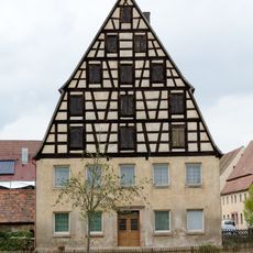
Hopfenbauernhaus
118 m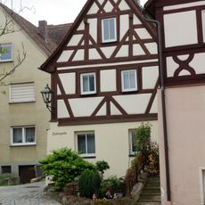
Wohnhaus
281 m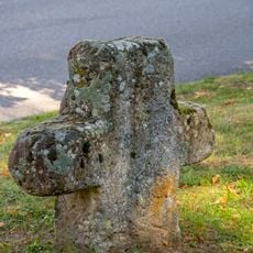
Steinkreuz 1 am Friedhof in Spalt
128 m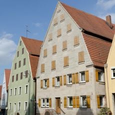
Bürgerhaus
277 m
Wohnhaus
309 m
Bürgerhaus
274 m
Wohnhaus
274 m
Brückenfigur heiliger Johann Nepomuk
152 m
Wohnhaus
257 m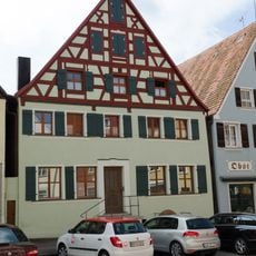
Bürgerhaus
301 m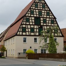
Hopfenbauernhaus
92 m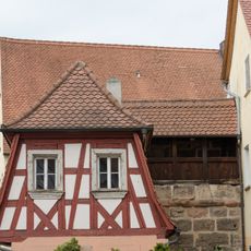
Stadtmauer
207 m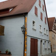
Former hop farm at Gänsgasse 45
263 m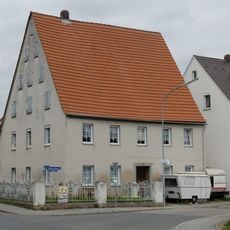
Einfriedung
55 m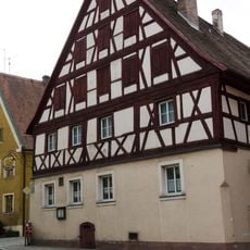
Gasthaus zur Sonne
260 m
Bürgerhaus
279 m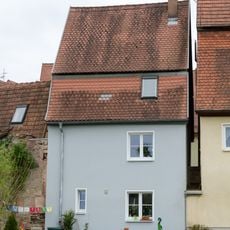
Stadtmauer
287 m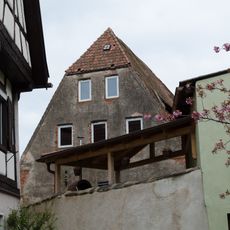
Ackerbürgeranwesen
301 m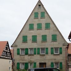
Bürgerhaus
279 m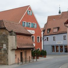
Stadtmauer
226 mVisited this place? Tap the stars to rate it and share your experience / photos with the community! Try now! You can cancel it anytime.
Discover hidden gems everywhere you go!
From secret cafés to breathtaking viewpoints, skip the crowded tourist spots and find places that match your style. Our app makes it easy with voice search, smart filtering, route optimization, and insider tips from travelers worldwide. Download now for the complete mobile experience.

A unique approach to discovering new places❞
— Le Figaro
All the places worth exploring❞
— France Info
A tailor-made excursion in just a few clicks❞
— 20 Minutes