
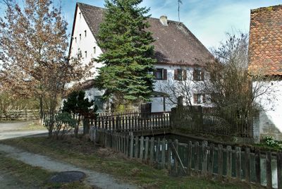
Gabermühle, sandsteinquaderbau mit Frackdach, 18./19. Jahrhundert
Location: Kalchreuth
Elevation above the sea: 300 m
Address: Gabermühle 1; Gabermühle 2 91077 91077
GPS coordinates: 49.58890,11.12908
Latest update: March 4, 2025 17:26
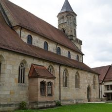
Stiftskirche
2.6 km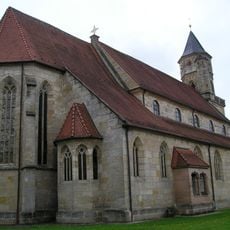
Augustinerchorherrenstift Neunkirchen am Brand
2.6 km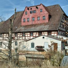
Habernhofermühle
1.5 km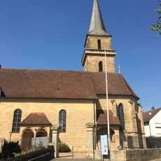
Saalkirche
1.1 km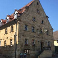
Gasthaus
1.2 km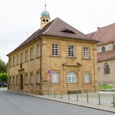
Altes Rathaus
2.7 km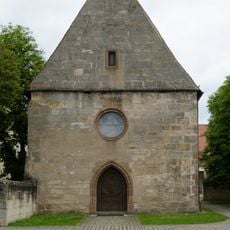
Kapelle
2.7 km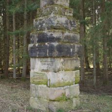
Bannwalddenkmal
1 km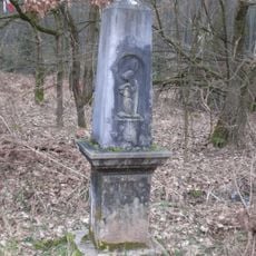
Hasensteinsäule
2.4 km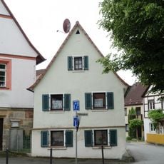
Bürgerhaus
2.6 km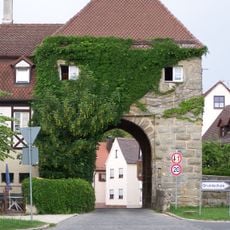
Torhaus
2.7 km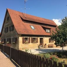
Bauernhaus
1.5 km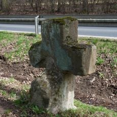
Kreuz
2.1 km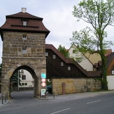
Toranlage
2.5 km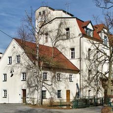
Minderleinsmühle
1.1 km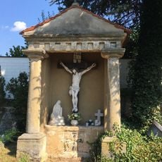
Kalvarienbergkapelle
1.1 km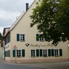
Gasthaus
2.7 km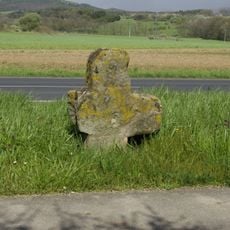
Kreuz
2 km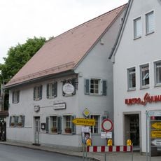
Gasthaus
2.7 km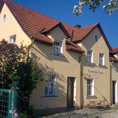
Station building of Neunkirchen a Brand station
2.4 km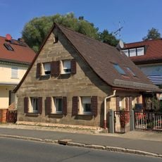
Bauernhaus
1.3 km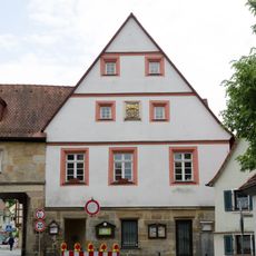
Neues Rathaus (Neunkirchen am Brand)
2.6 km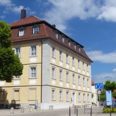
Amtshaus
2.6 km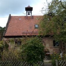
Gemeindehaus
2.6 km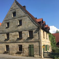
Bauernhaus
1.2 km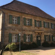
Schulgebäude
1.1 km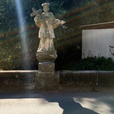
Steinbrücke
1.1 km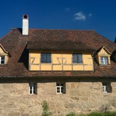
Armenhaus
2.5 kmReviews
Visited this place? Tap the stars to rate it and share your experience / photos with the community! Try now! You can cancel it anytime.
Discover hidden gems everywhere you go!
From secret cafés to breathtaking viewpoints, skip the crowded tourist spots and find places that match your style. Our app makes it easy with voice search, smart filtering, route optimization, and insider tips from travelers worldwide. Download now for the complete mobile experience.

A unique approach to discovering new places❞
— Le Figaro
All the places worth exploring❞
— France Info
A tailor-made excursion in just a few clicks❞
— 20 Minutes