
Ehemaliges Pfarrhaus, building in Wörth am Main, Lower Franconia, Germany
Location: Wörth am Main
Address: Waisenhausstraße 14
GPS coordinates: 49.79466,9.15861
Latest update: March 2, 2025 20:15

Upper German-Raetian Limes
208 m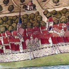
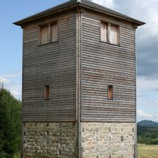
Bergfried
246 m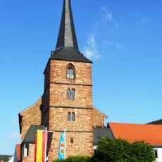
Pfarrkirche
260 m
St. Nikolaus
126 m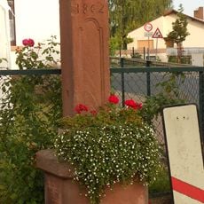
Bildstock in Wörth am Main
328 m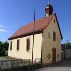
Ausstattung
92 m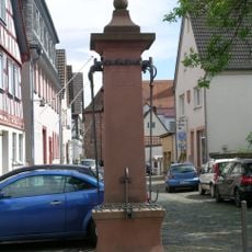
Marktbrunnen
353 m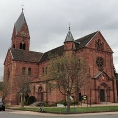
Kirche
127 m
Schifffahrts- und Schiffbaumuseum
262 m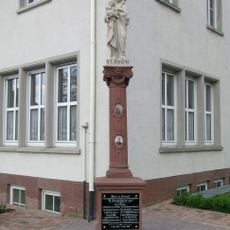
Denkmal
122 m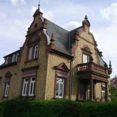
Villa
183 m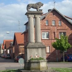
Kriegerdenkmal
140 m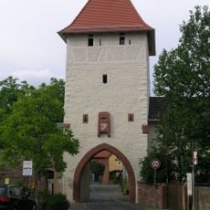
Stadtbefestigung
210 m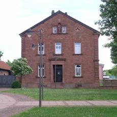
Pfarrhaus
124 m
Rathaus
123 m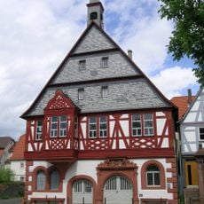
Ausstattung
367 m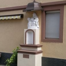
Pietà
139 m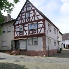
Wohnhaus
355 m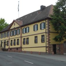
Gasthaus
225 m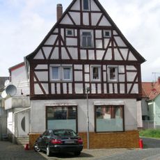
Wohnhaus
370 m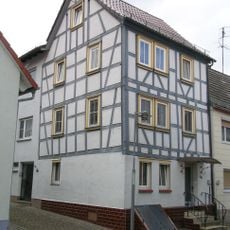
Wohnhaus
282 m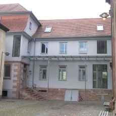
Schule
236 m
Wohnhaus
266 m
Wohnhaus
316 m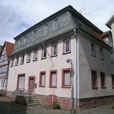
Gasthaus
341 m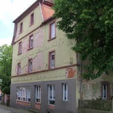
Gasthaus
342 m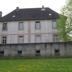
Pfarrhaus
294 m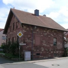
Vgl. Ensemble Emil-Geis-Straße
155 mReviews
Visited this place? Tap the stars to rate it and share your experience / photos with the community! Try now! You can cancel it anytime.
Discover hidden gems everywhere you go!
From secret cafés to breathtaking viewpoints, skip the crowded tourist spots and find places that match your style. Our app makes it easy with voice search, smart filtering, route optimization, and insider tips from travelers worldwide. Download now for the complete mobile experience.

A unique approach to discovering new places❞
— Le Figaro
All the places worth exploring❞
— France Info
A tailor-made excursion in just a few clicks❞
— 20 Minutes