
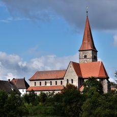
Kirche, building in Weisendorf, Middle Franconia, Germany
Location: Weisendorf
Address: Sebald-Rieter-Weg 2
GPS coordinates: 49.61872,10.77234
Latest update: March 3, 2025 23:50

Münchaurach monastery
6.1 km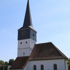
Evangelische Pfarrkirche
3.8 km
Burg Dachsbach
5.6 km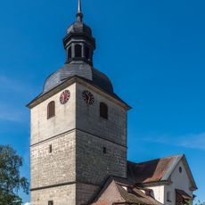
Evangelisch-lutherische Pfarrkirche St. Kilian
6 km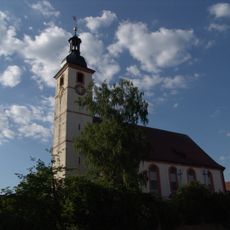
St. Peter und Paul
6 km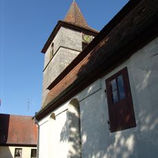
St. Katharina
6.3 km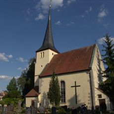
St.Marien (Dachsbach)
5.5 km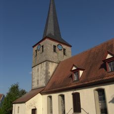
St. Nikolaus und Peter
6.3 km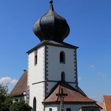
St. Martin
4.7 km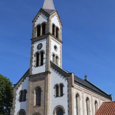
St. Josef
3.6 km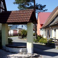
Hofbrunnen Ziegelhüttenweg 1 in Weisendorf
276 m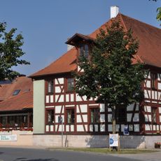
Brauerei Geyer
3.2 km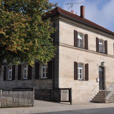
Ehemaliges Schulhaus
3.2 km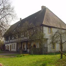
Ehem. Amtshaus, Justizamt 1797-1812
5.5 km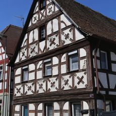
Satteldachbau
3.7 km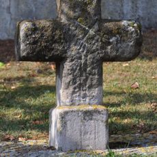
Steinkreuz in Sintmann
1.8 km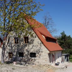
Wohnstallhaus
252 m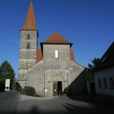
Evangelisch-lutherische Pfarrkirche, ehemalige Benediktinerklosterkirche Sankt Peter und Paul
6.1 km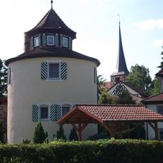
Rondell
5.4 km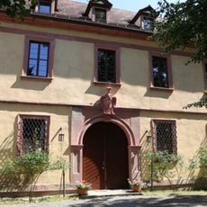
Schloss Weisendorf
4 km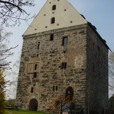
Wohnturm der ehemaligen Wasserburg
5.6 km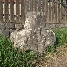
Steinkreuz in Voggendorf
6.3 km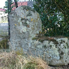
Steinkreuz in Peppenhöchstädt
4.5 km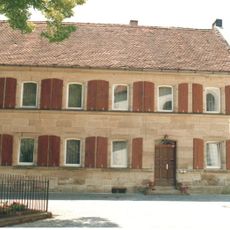
Ehemaliges Schulhaus, dann Rathaus, jetzt Wohnhaus
5.5 km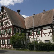
Gasthaus zur Sonne
6.3 km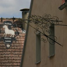
Wirtshausschild
6.3 km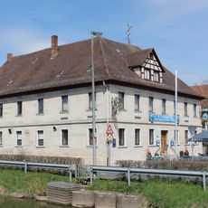
Gasthaus "Zum Brandenburger Adler"
5.4 km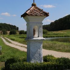
Bildstock
4.8 kmReviews
Visited this place? Tap the stars to rate it and share your experience / photos with the community! Try now! You can cancel it anytime.
Discover hidden gems everywhere you go!
From secret cafés to breathtaking viewpoints, skip the crowded tourist spots and find places that match your style. Our app makes it easy with voice search, smart filtering, route optimization, and insider tips from travelers worldwide. Download now for the complete mobile experience.

A unique approach to discovering new places❞
— Le Figaro
All the places worth exploring❞
— France Info
A tailor-made excursion in just a few clicks❞
— 20 Minutes