
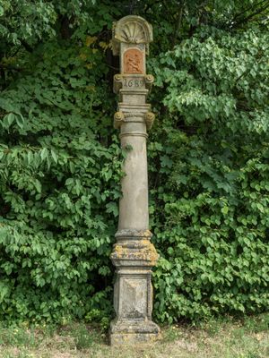
Bildstock, cultural heritage monument D-4-71-195-82 (0) in Strullendorf, Bavaria
Location: Strullendorf
Address: Zum Steinknock; am Waldweg nach Tiefenhöchstadt
GPS coordinates: 49.86900,11.05055
Latest update: March 13, 2025 23:36
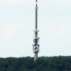
Bamberg transmitter
2.4 km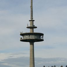
Sender Bamberg (Kälberberg)
1.9 km
Friesener Warte
2.6 km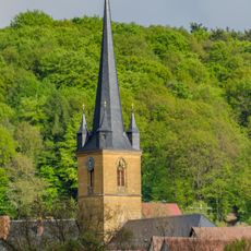
Chorturmkirche
449 m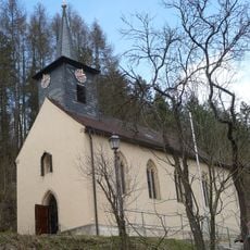
Ortskapelle
2.8 km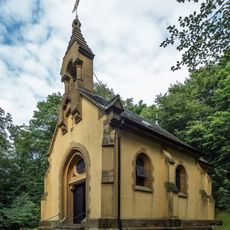
Wallfahrtskapelle
128 m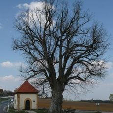
Baudenkmal
2.8 km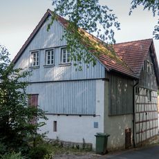
Bauernhaus
1.6 km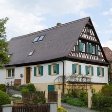
Bauernhaus
2.8 km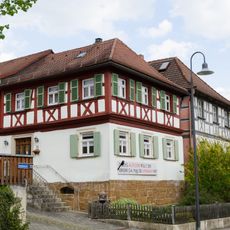
Bauernhaus
2.9 km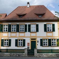
Bauernhaus
2.9 km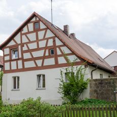
Bauernhaus
2.9 km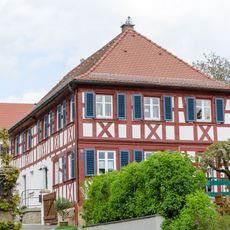
Bauernhaus
2.8 km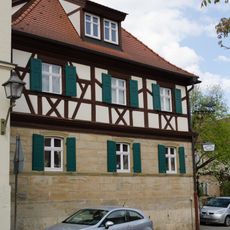
Brauereigasthof
3 km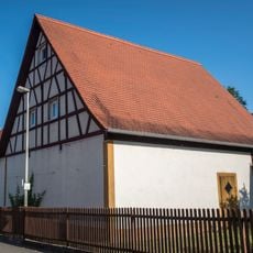
Scheune Zur Mühle 5 in Strullendorf
1.7 km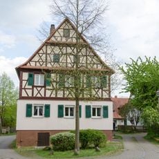
Bauernhaus
2.9 km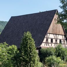
Scheune
703 m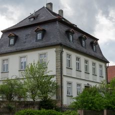
Pfarrhof
2.9 km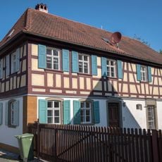
Bauernhaus
1.7 km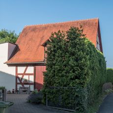
Scheune
1.9 km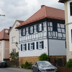
Bauernhof
2.9 km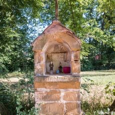
Heiligenhäuschen
1.5 km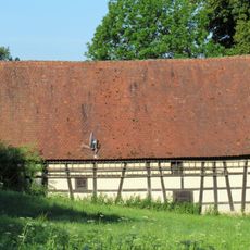
Mühle Zur Mühle 17 in Strullendorf
1.5 km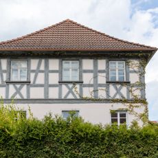
Baudenkmal
2.9 km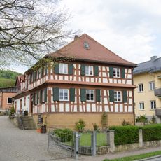
Bauernhaus
2.8 km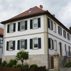
Bauernhof
2.9 km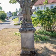
Statue
695 m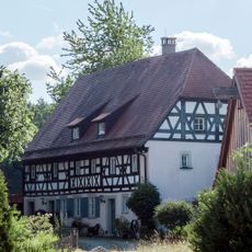
Mühle
667 mVisited this place? Tap the stars to rate it and share your experience / photos with the community! Try now! You can cancel it anytime.
Discover hidden gems everywhere you go!
From secret cafés to breathtaking viewpoints, skip the crowded tourist spots and find places that match your style. Our app makes it easy with voice search, smart filtering, route optimization, and insider tips from travelers worldwide. Download now for the complete mobile experience.

A unique approach to discovering new places❞
— Le Figaro
All the places worth exploring❞
— France Info
A tailor-made excursion in just a few clicks❞
— 20 Minutes