
Bildstock, gedrungener Pfeiler und Laterne mit Bildnische, bezeichnet mit „1870“
Location: Hahnbach
Address: Frohnberg
GPS coordinates: 49.51712,11.78180
Latest update: September 9, 2025 19:41
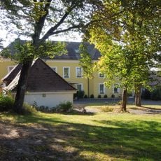
Ehemaliges Schlösschen Franziskaruhe, später Werkskasino der Maxhütte
3.1 km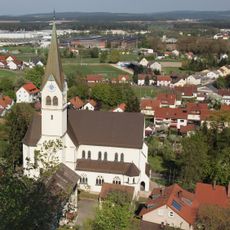
Herz-Jesu-Kirche
3 km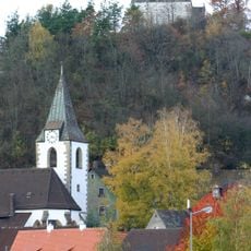
Burgstall Rosenberg
3.1 km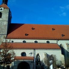
St. Jakob (Hahnbach)
2.4 km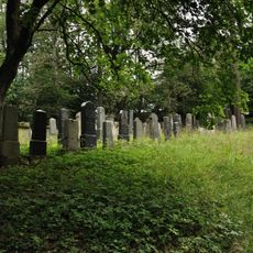
Jewish cemetery, Sulzbach
3 km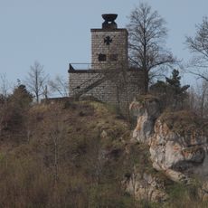
Kriegerdenkmal für die Gefallenen des Ersten Weltkriegs
3.1 km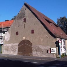
Zehntstadel
3 km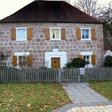
Pfarrhaus Frohnberg
586 m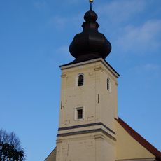
Wallfahrtskirche Unserer Lieben Frau (Frohnberg)
638 m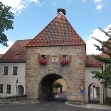
Amberger Tor (Hahnbach)
2.4 km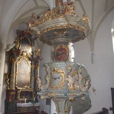
Pulpit of St. Jakob (Hahnbach)
2.4 km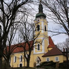
Wallfahrtskirche St. Anna
2.3 km
St. Johannes Baptist
3.1 km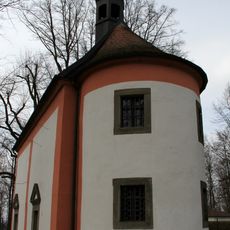
Lorettokapelle Sulzbach-Rosenberg
2.3 km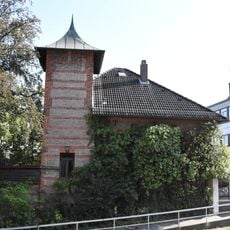
Villa
3.1 km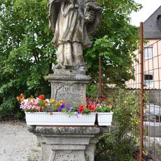
Figur des hl. Johannes Nepomuk
2.9 km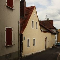
Lange Gasse 35-43
3.1 km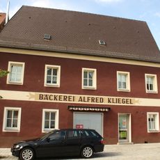
Neustadt 25
3.1 km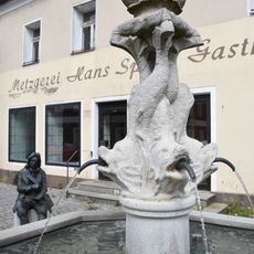
Brunnenfigur des sogenannten Delphinbrunnens
3.1 km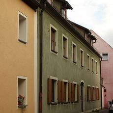
Lange Gasse 29 (Sulzbach-Rosenberg)
3.1 km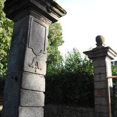
Gesamt vier Torpfeiler - siehe auch: Bayreuther Straße 2
3.1 km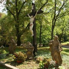
Annaberg
2.3 km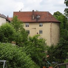
Lange Gasse 45
3.1 km
Rundturm
3 km
Lange Gasse 19
3.1 km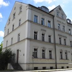
Ehemaliges Offiziersgebäude
3 km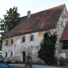
Wohnhaus eines Bauernhofs
2.1 km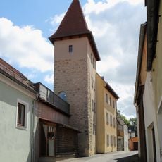
Lange Gasse 15
3.1 kmReviews
Visited this place? Tap the stars to rate it and share your experience / photos with the community! Try now! You can cancel it anytime.
Discover hidden gems everywhere you go!
From secret cafés to breathtaking viewpoints, skip the crowded tourist spots and find places that match your style. Our app makes it easy with voice search, smart filtering, route optimization, and insider tips from travelers worldwide. Download now for the complete mobile experience.

A unique approach to discovering new places❞
— Le Figaro
All the places worth exploring❞
— France Info
A tailor-made excursion in just a few clicks❞
— 20 Minutes