
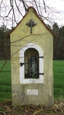
Marienbildstock, verputzt und mit Satteldach, wohl 2. Hälfte 19. Jahrhundert
Location: Ensdorf
Address: Steinleite; am Feldweg nach Gleicheröd
GPS coordinates: 49.37916,11.94641
Latest update: March 3, 2025 00:42
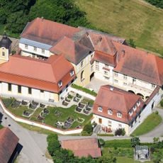
Schloss Ebermannsdorf
1.4 km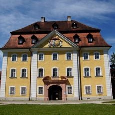
Hammerschloss Theuern
2.7 km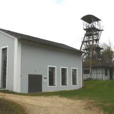
Bergbau- und Industriemuseum Ostbayern
2.7 km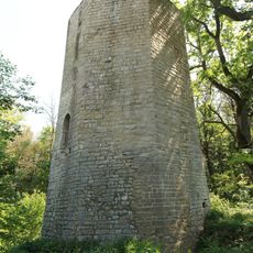
Burgruine Eberburg
1.3 km
Schloss Leidersdorf
3.2 km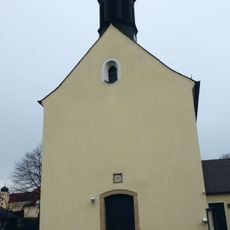
St. Magdalena (Wolfsbach)
2.6 km
Burgstall Theuern
3 km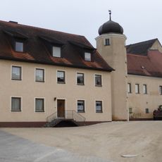
Hammer Wolfsbach
2.5 km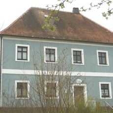
Pfarrhaus Theuern (Kümmersbruck)
2.8 km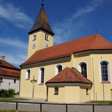
St. Nikolaus
2.7 km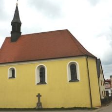
Hofstetten
639 m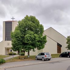
Bruder Konrad
1.9 km
Marienkapelle Götzenöd
1.8 km
St. Leonhardskapelle
2.6 km
Kapelle St. Magnus
3.5 km
Friedhofskapelle
2.6 km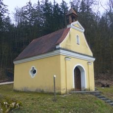
Kapelle St. Antonius
3.3 km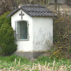
Kapellenbildstock
660 m
Ehemaliges Gerichtsdienerhaus
2.7 km
Wohnhaus
2.7 km
Ehemaliges Hammergut
2.5 km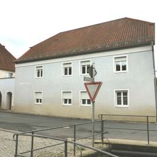
Ehemaliger Gasthof Schmidt
4.3 km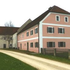
Theuern-Spiegelglasschleife
3.3 km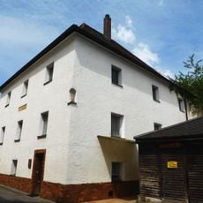
Ehemaliges Eisenamtshaus des Klosters
4.3 km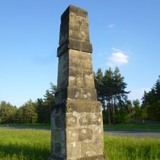
Kilometerstein in Form eines Sandsteinobelisken, sogenannte Stundensäule
3.5 km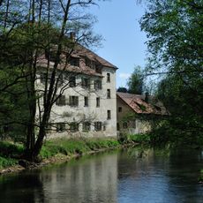
Leidersdorf
3.3 km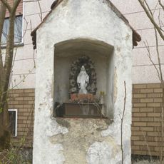
Bildstock
3 km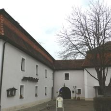
Ehemaliges Schlossbrauhaus und Administrationshaus
2.7 kmVisited this place? Tap the stars to rate it and share your experience / photos with the community! Try now! You can cancel it anytime.
Discover hidden gems everywhere you go!
From secret cafés to breathtaking viewpoints, skip the crowded tourist spots and find places that match your style. Our app makes it easy with voice search, smart filtering, route optimization, and insider tips from travelers worldwide. Download now for the complete mobile experience.

A unique approach to discovering new places❞
— Le Figaro
All the places worth exploring❞
— France Info
A tailor-made excursion in just a few clicks❞
— 20 Minutes