
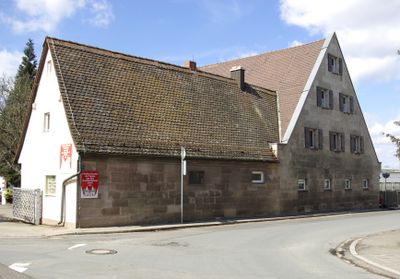
Frauentaler Weg 47, building in Nuremberg, Middle Franconia, Germany
Location: Nuremberg
Address: Frauentaler Weg 47
GPS coordinates: 49.47127,11.03651
Latest update: April 6, 2025 10:04

Westfriedhof
1.1 km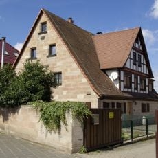
Wetzendorf
308 m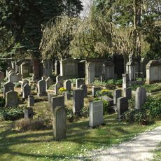
Neuer Jüdischer Friedhof
584 m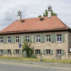
Dannreuther'scher Herrensitz
677 m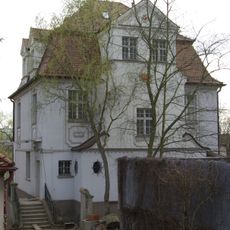
Schnieglinger Straße 223
642 m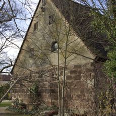
Doppelbauernhof Wahlerstraße
767 m
Soldatenkreuz
645 m
Wetzendorfer Straße 266
111 m
Wetzendorfer Straße 252
202 m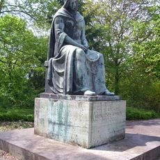
Westfriedhof
1 km
Alte Parlerstraße 7
437 m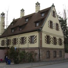
Hörmann’scher Herrensitz
773 m
Weihergartenstraße 8
804 m
Serz'sches Herrenhaus
683 m
Schnieglinger Straße 244 (Nuremberg-Schniegling)
703 m
Adolf-Braun-Straße 42
1.1 km
Schnieglinger Straße 233
718 m
Alte Parlerstraße 9
462 m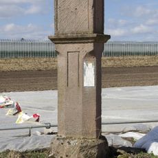
Pestmarter (Wetzendorf)
150 m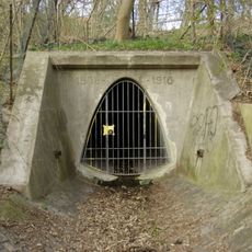
Sturmauslassabzweigung Süßheimweg
628 m
Schnieglinger Straße 102
946 m
Holsteiner Straße 2a
658 m
Louis Vetter
648 m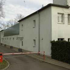
Ehemalige Wohn- und Pflegestätte für Lungenkranke
520 m
Wetzendorfer Straße 239
350 m
Adolf-Braun-Straße 46
1.1 km
Wetzendorfer Straße 274
53 m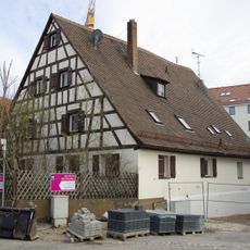
Weihergartenstraße 9
857 mReviews
Visited this place? Tap the stars to rate it and share your experience / photos with the community! Try now! You can cancel it anytime.
Discover hidden gems everywhere you go!
From secret cafés to breathtaking viewpoints, skip the crowded tourist spots and find places that match your style. Our app makes it easy with voice search, smart filtering, route optimization, and insider tips from travelers worldwide. Download now for the complete mobile experience.

A unique approach to discovering new places❞
— Le Figaro
All the places worth exploring❞
— France Info
A tailor-made excursion in just a few clicks❞
— 20 Minutes