
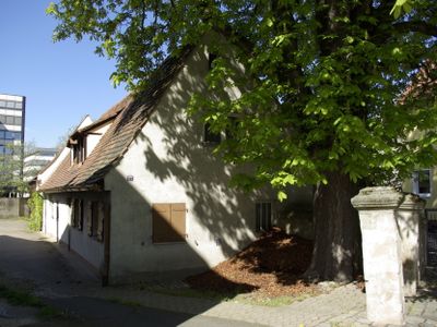
Äußere Bucher Straße 17, building in Nuremberg, Middle Franconia, Germany
Location: Nuremberg
Address: Äußere Bucher Straße 17
GPS coordinates: 49.47220,11.06602
Latest update: March 3, 2025 07:54

Thon, Nuremberg
879 m
Peter-Vischer-Schule
893 m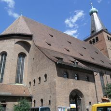
Friedenskirche
1.4 km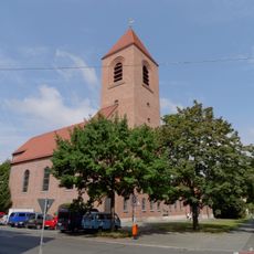
St. Martin
1.3 km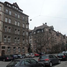
Bielingplatz
844 m
Platnersanlage
1 km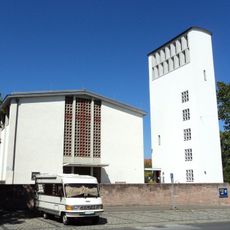
St. Andreas
356 m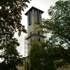
St. Matthäus (Großreuth hinter der Veste)
1.3 km
Sonnenwohnheim (Nuremberg-Thon)
479 m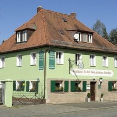
Zu den zwei goldenen Hirschen
61 m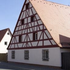
Mittelstraße 6
565 m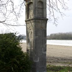
Praun'sche Säule
1.1 km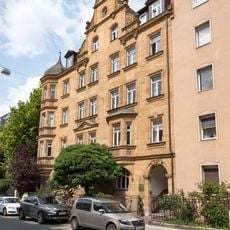
Jagdstraße 12 in Nürnberg
1.3 km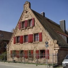
Mittelstraße 63
970 m
Mittelstraße 24
692 m
Sebaldusstraße 3
510 m
Figurengruppe Bielefelder Straße
1.1 km
Schwedenhaus
1.3 km
Schnepfenreuth 1
1.3 km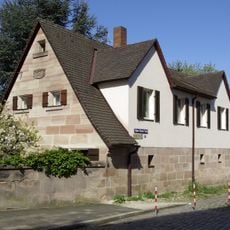
Äußere Bucher Straße 31
94 m
Kleinreuther Weg 87
389 m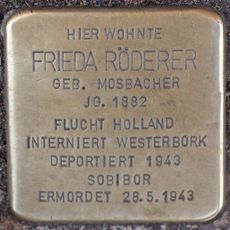
Stolperstein dedicated to Frieda Röderer
1.2 km
Mittelstraße 40
817 m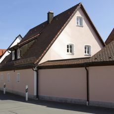
Mittelstraße 38
798 m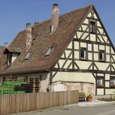
Mittelstraße 37 (Nuremberg)
791 m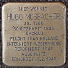
Stolperstein dedicated to Hugo Mosbacher
1.2 km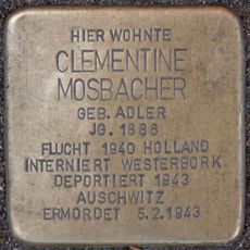
Stolperstein dedicated to Clementine Mosbacher
1.2 km
Äußere Bucher Straße 15
18 mVisited this place? Tap the stars to rate it and share your experience / photos with the community! Try now! You can cancel it anytime.
Discover hidden gems everywhere you go!
From secret cafés to breathtaking viewpoints, skip the crowded tourist spots and find places that match your style. Our app makes it easy with voice search, smart filtering, route optimization, and insider tips from travelers worldwide. Download now for the complete mobile experience.

A unique approach to discovering new places❞
— Le Figaro
All the places worth exploring❞
— France Info
A tailor-made excursion in just a few clicks❞
— 20 Minutes