
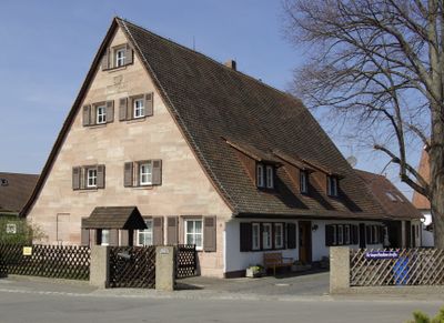
Kriegerlindenstraße 1, building in Nuremberg, Middle Franconia, Germany
Location: Nuremberg
Address: Kriegerlindenstraße 1
GPS coordinates: 49.48704,11.07620
Latest update: March 5, 2025 18:17
Almoshof
1.2 km
Christoph 27
1 km
Christoph Nürnberg
1 km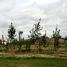
Flughafen
1.3 km
Almoshofer Hauptstraße 93
1.2 km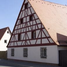
Mittelstraße 6
1.3 km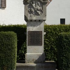
Kriegerdenkmal Lohe
28 m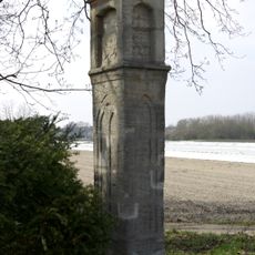
Praun'sche Säule
919 m
Lohestraße 227
291 m
Irrhainstraße 19
1.2 km
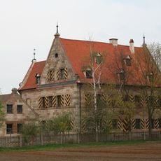
Imhoff'scher Herrensitz
1.1 km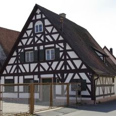
Mittelstraße 40
1.1 km
Almoshofer Hauptstraße 77
1 km
Holzschuher-Schlösschen
837 m
Sebaldusstraße 3
1.3 km
Mittelstraße 63
1 km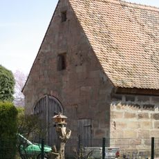
Mittelstraße 24
1.2 km
Irrhainstraße 25
1.1 km
Loher Hauptstraße 128
369 m
Schwarzer Adler
973 m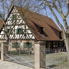
Loher Hauptstraße 104
195 m
Loher Hauptstraße 100
156 m
Loher Hauptstraße 102
172 m
Mittelstraße 38
1.1 km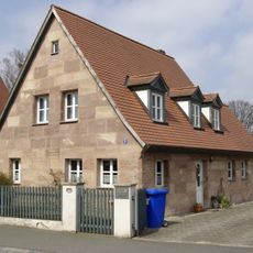
Irrhainstraße 27
1.1 km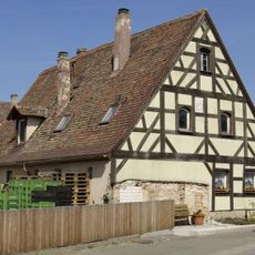
Mittelstraße 37 (Nuremberg)
1.1 km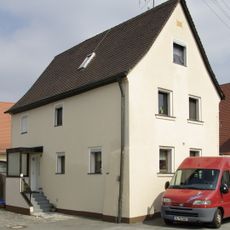
Irrhainstraße 23
1.1 km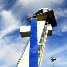
Kontrollturm Flughafen Nürnberg
954 mReviews
Visited this place? Tap the stars to rate it and share your experience / photos with the community! Try now! You can cancel it anytime.
Discover hidden gems everywhere you go!
From secret cafés to breathtaking viewpoints, skip the crowded tourist spots and find places that match your style. Our app makes it easy with voice search, smart filtering, route optimization, and insider tips from travelers worldwide. Download now for the complete mobile experience.

A unique approach to discovering new places❞
— Le Figaro
All the places worth exploring❞
— France Info
A tailor-made excursion in just a few clicks❞
— 20 Minutes