
Bauernhaus, building in Weiding, Upper Palatinate, Germany
Location: Weiding
Address: Reisacherbergweg 2
GPS coordinates: 49.28610,12.73822
Latest update: May 6, 2025 11:43
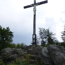
Gibacht
6.3 km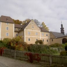
Schloss Waffenbrunn
6.1 km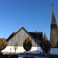
St. Bartholomäus (Geigant)
6 km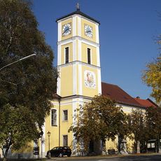
Dreifaltigkeitskirche
4 km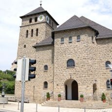
Mariä Himmelfahrt (Waffenbrunn)
6 km
Turmhügel Katzbach
5 km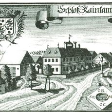
Schloss Ränkam
4 km
Ponnholzbachtal
5.7 km
Burgstall Ödschloss
6.8 km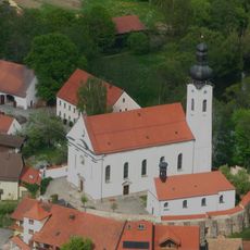
St. Martin
5.9 km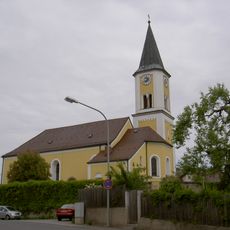
St. Bartholomäus
3.4 km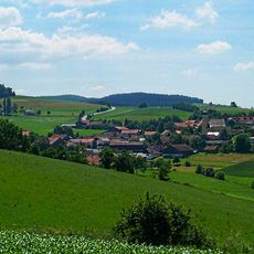
Katholische Expositurkirche St. Ägidius
7.7 km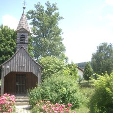
Kapelle
5.5 km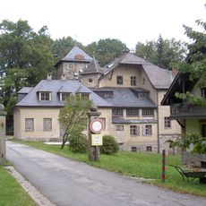
Neues Schloss (Voithenberg)
6.8 km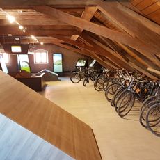
Arnschwanger Fahrradmuseum
5.7 km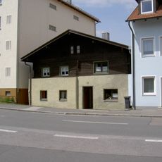
Ehemaliges Bauernhaus
7.6 km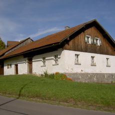
Waldlerhaus
5 km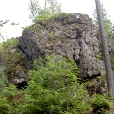
Geotop Einsiedlerfels bei Pucher
6.8 km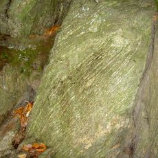
Felsen bei Katzbach
5 km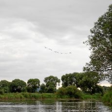
Regentalaue und Chambtal mit Rötelseeweihergebiet
4.4 km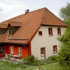
Bauernhaus
7.1 km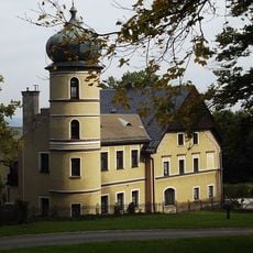
Altes Schloss
6.9 km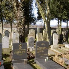
Jüdischer Friedhof
6.7 km
Pfarrstall Gleißenberg Hauptstraße 12
3.4 km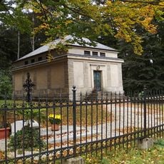
Mausoleum der Herren Voith von Voithenberg
7.1 km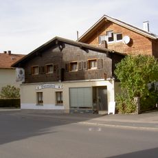
Waldlerhaus
6.2 km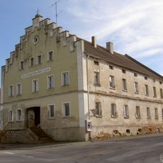
Ehemaliger Gasthof
6.2 km
Nepomuk Windischbergerdorf
6.1 kmReviews
Visited this place? Tap the stars to rate it and share your experience / photos with the community! Try now! You can cancel it anytime.
Discover hidden gems everywhere you go!
From secret cafés to breathtaking viewpoints, skip the crowded tourist spots and find places that match your style. Our app makes it easy with voice search, smart filtering, route optimization, and insider tips from travelers worldwide. Download now for the complete mobile experience.

A unique approach to discovering new places❞
— Le Figaro
All the places worth exploring❞
— France Info
A tailor-made excursion in just a few clicks❞
— 20 Minutes