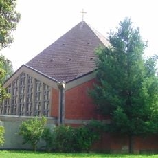
Wegkapelle, building in Tirschenreuth, Upper Palatinate, Germany
Location: Tirschenreuth
Address: In Höfen
GPS coordinates: 49.89548,12.33485
Latest update: November 20, 2025 19:26
Neue Sankt-Peter-Kirche
1.1 km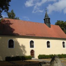
Alte St. Peter-Kirche
1.1 km
Kapelle (Kleinklenau)
1.2 km
Friedhof Friedhofweg 4 in Tirschenreuth
1.5 km
Feldkreuz
594 m
Cultural heritage D-3-6140-0058 in Tirschenreuth
1.1 km
Totenbrett Lange Äcker in Tirschenreuth
978 m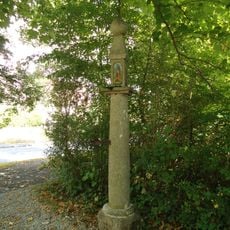
Säulenbildstock, sogenannte Eiserne Hand
1.2 km
Säulenbildstock mit kugelbekrönter Laterne
977 m
Cultural heritage D-3-6140-0033 in Tirschenreuth
414 m
Friedhofsmauer Friedhofweg 2; Friedhofweg 4 in Tirschenreuth
1.5 km
Säulenbildstock
1.1 km
Wohnstallhaus eines Dreiseithofes
1.1 km
Friedhofsmauer Nähe St.-Peter-Straße in Tirschenreuth
1.1 km
Stiftlandsäule "Eiserne Hand"
1.2 km
Stiftlandsäule
1.1 km
Stiftlandsäule
977 m
Sonne
739 m
Merkur
696 m
Venus
662 m
Erde
644 m
Mars
601 m
Jupiter
641 m
Saturn
975 m
Scenic viewpoint
965 m
Catholic church building, wayside shrine, Christianity
1.3 km
Steinkreuz
594 m
Catholic church building, wayside cross, Christianity
834 mReviews
Visited this place? Tap the stars to rate it and share your experience / photos with the community! Try now! You can cancel it anytime.
Discover hidden gems everywhere you go!
From secret cafés to breathtaking viewpoints, skip the crowded tourist spots and find places that match your style. Our app makes it easy with voice search, smart filtering, route optimization, and insider tips from travelers worldwide. Download now for the complete mobile experience.

A unique approach to discovering new places❞
— Le Figaro
All the places worth exploring❞
— France Info
A tailor-made excursion in just a few clicks❞
— 20 Minutes