
Blockbau mit Schrot, anfang 18. Jahrhundert
Location: Neukirchen
Address: Inderbogen 13
GPS coordinates: 48.98922,12.75450
Latest update: May 20, 2025 12:27
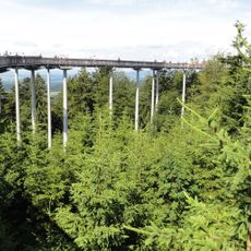
Waldwipfelweg
3.2 km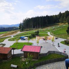
Streichelzoo
2.1 km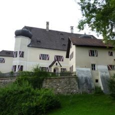
Schloss Haggn
1.8 km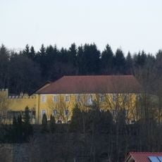
Schloss Steinburg
3 km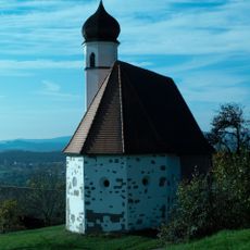
Sankt Johannes der Täufer
3 km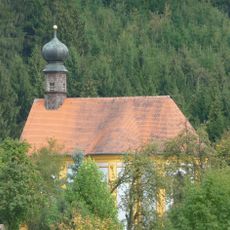
Church of the Conversion of Saint Paul
920 m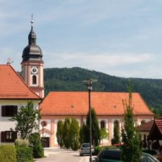
Katholische Pfarrkirche St. Martin
1.5 km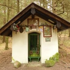
Waldkapelle
3.5 km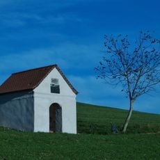
Kapelle
2.1 km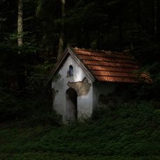
Wegkapelle
2.5 km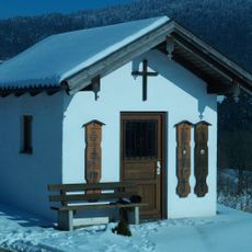
Wegkapelle
3.3 km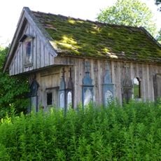
Kleine hölzerne Hofkapelle
3.5 km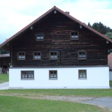
Obergeschoss-Blockbau
2.3 km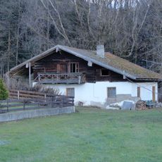
Hierzu Ausnahmshäusl
573 m
Edelwies Natur-und Freizeitpark
2.1 km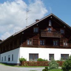
Bauernhaus
2.5 km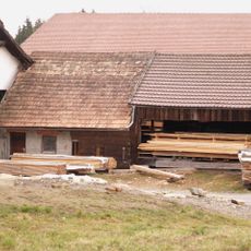
Hierzu Ausnahmshaus
3.5 km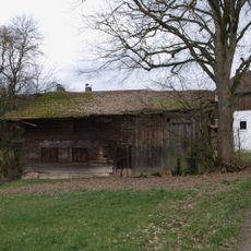
Traidkasten
3.3 km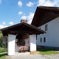
Backofen
2.4 km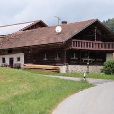
Waldlerhaus
2.4 km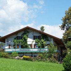
Einzelhof
1.8 km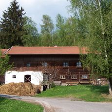
Einfirsthof in Blockbau
2.7 km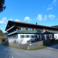
Wohnstallhaus
740 m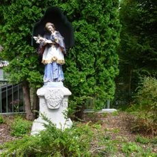
Steinfigur des heiligen Johannes von Nepomuk
3.1 km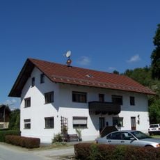
Bauernhaus
3.1 km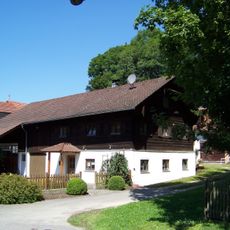
Einfirsthof
3.1 km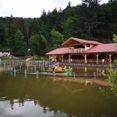
Interaktive Bootsfahrt
2 km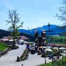
Superschaukel
2.1 kmReviews
Visited this place? Tap the stars to rate it and share your experience / photos with the community! Try now! You can cancel it anytime.
Discover hidden gems everywhere you go!
From secret cafés to breathtaking viewpoints, skip the crowded tourist spots and find places that match your style. Our app makes it easy with voice search, smart filtering, route optimization, and insider tips from travelers worldwide. Download now for the complete mobile experience.

A unique approach to discovering new places❞
— Le Figaro
All the places worth exploring❞
— France Info
A tailor-made excursion in just a few clicks❞
— 20 Minutes