
Wegkreuz, gusseisenkruzifix, zweite Hälfte 19. Jahrhundert, auf erneuertem Granitsockelsockel
Location: Kirchendemenreuth
Address: Höhe
GPS coordinates: 49.78007,12.09339
Latest update: April 8, 2025 21:35
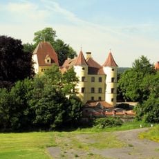
Schloss Wildenreuth
2.5 km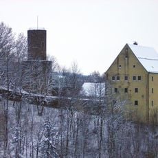
Burg Neuhaus (Windischeschenbach)
5.4 km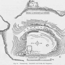
Burg Trautenberg
5.4 km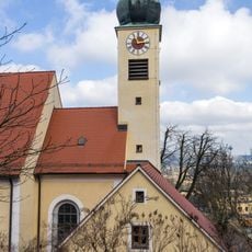
St. Pankratius
5.5 km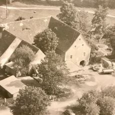
Schloss Burggrub
5.1 km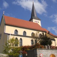
St. Emmeram
5.1 km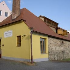
Kommunbrauhaus
5.1 km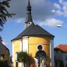
Sankt Agatha (Neuhaus)
5.6 km
Christ Church
5.2 km
Denkenreuther Dorfkapelle
5.3 km
Feldkapelle
4.9 km
Katholische Kirche Maria Hilf
3.8 km
Kriegergedächtniskapelle
5.2 km
Feldkapelle
5.2 km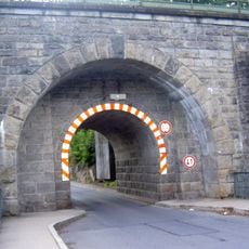
Eisenbahndamm
5.3 km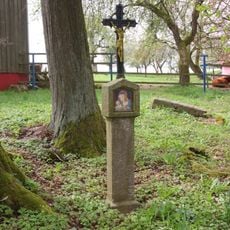
Bildstock
5.2 km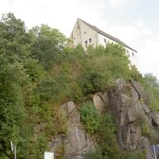
Granitfelswand in Neuhaus
5.4 km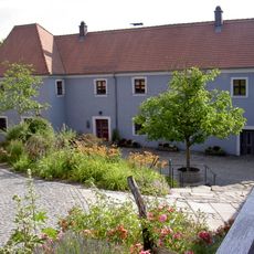
Schafferhof Neuhaus
5.5 km
Friedhof Windischeschenbach
5.3 km
Pfarrhof
5.2 km
Kapuzinergasse 6
5.5 km
Windischeschenbach Hauptstraße 5
5.1 km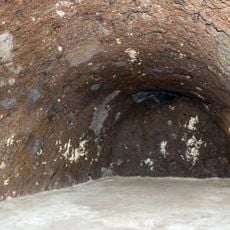
Felsenkeller in Parkstein
5.5 km
Cultural heritage D-3-6238-0032 in Parkstein
5.5 km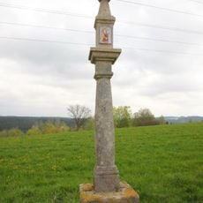
Bildstock
5.2 km
Windischeschenbach Stadtplatz 4
5.1 km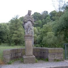
Heiligenfigur
5.4 km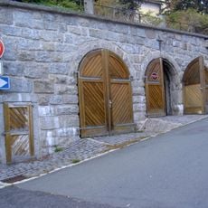
Hangstützmauer
5.1 kmReviews
Visited this place? Tap the stars to rate it and share your experience / photos with the community! Try now! You can cancel it anytime.
Discover hidden gems everywhere you go!
From secret cafés to breathtaking viewpoints, skip the crowded tourist spots and find places that match your style. Our app makes it easy with voice search, smart filtering, route optimization, and insider tips from travelers worldwide. Download now for the complete mobile experience.

A unique approach to discovering new places❞
— Le Figaro
All the places worth exploring❞
— France Info
A tailor-made excursion in just a few clicks❞
— 20 Minutes