
Staumauer-Anlage, aus Natursteinblöcken, Teil des ehemaligen Verteidigungssystems des Schlosses, 1. Hälfte 17. Jahrhundert
Location: Windorf
Address: Staumauer-Anlage
GPS coordinates: 48.65497,13.24742
Latest update: April 8, 2025 22:44
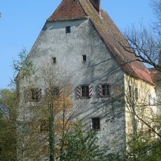
Schloss Aicha vorm Wald
3.9 km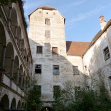
Schloss Rathsmannsdorf
180 m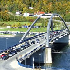
Marienbrücke
4.9 km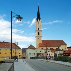
Sankt Johannes der Täufer in Vilshofen an der Donau
4.9 km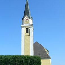
St. Petrus und Paulus
3.7 km
Pullman City
4.8 km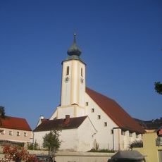
St. Jakobus
3.9 km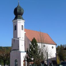
Ehemalige katholische Pfarrkirche St. Ulrich
376 m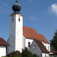
St. Michael
4.8 km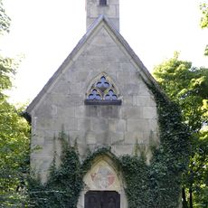
Albersdorfer Hauptstraße 1 - Wegkapelle
4.9 km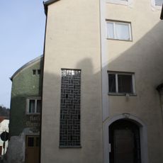
Ehemalige Schwarzensteiner Kapelle, jetzt Wohnhaus
4.9 km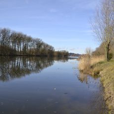
LSG Donauengtal Gelbersdorf-Windorf-Otterskirchen mit Donauinseln
4.3 km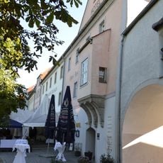
Wittelsbacher Zollhaus
5 km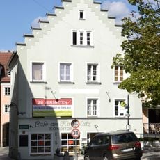
Wohnhaus
4.9 km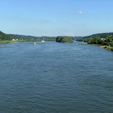
Vilshofener Donau-Engtal
2.4 km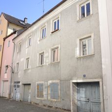
Wohnhaus
5 km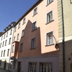
Wohnhaus
5 km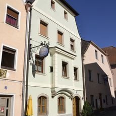
Wohnhaus
5 km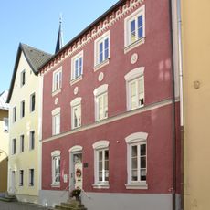
Wohnhaus
5 km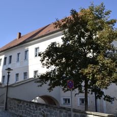
Pfarrhaus, ehemals Chorherrenstift
4.9 km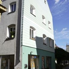
Wohnhaus
4.9 km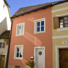
Reliefbüste eines Mannes
4.9 km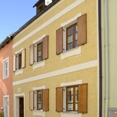
Wohnhaus
4.9 km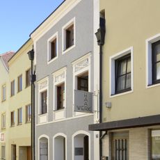
Wohn- und Geschäftshaus
5 km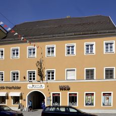
Gasthof Post
5 km
Wohn- und Geschäftshaus
5 km
Wohnhaus
4.9 km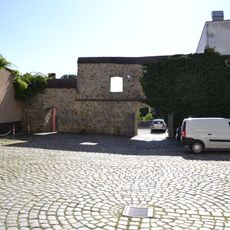
Rest der Stadtmauer
4.5 kmReviews
Visited this place? Tap the stars to rate it and share your experience / photos with the community! Try now! You can cancel it anytime.
Discover hidden gems everywhere you go!
From secret cafés to breathtaking viewpoints, skip the crowded tourist spots and find places that match your style. Our app makes it easy with voice search, smart filtering, route optimization, and insider tips from travelers worldwide. Download now for the complete mobile experience.

A unique approach to discovering new places❞
— Le Figaro
All the places worth exploring❞
— France Info
A tailor-made excursion in just a few clicks❞
— 20 Minutes