
St. Michael, saalbau mit eingezogenem Chor, Flankenturm mit Zeltdach, 2. Hälfte 17. Jahrhundert, Turm im Kern gotisch, Dach um 1900, Langhaus 1986 nach Süden erweitert;
Location: Obertraubling
Address: Kirchstraße 1
GPS coordinates: 48.95434,12.13077
Latest update: March 5, 2025 13:43

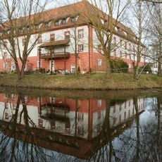
Wasserschloss Gebelkofen
3 km
St. Franziskus-Kirche
4.3 km
Schloss Hohengebraching
3.7 km
Hofmarkschloss Niedertraubling
3.9 km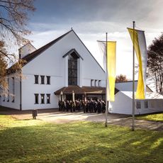
St. Benedikt
3.8 km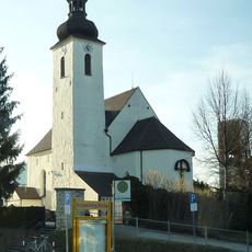
St. Michael
4.3 km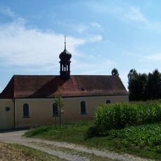
Maria vom Frieden
4.2 km
Mariä Himmelfahrt
2.7 km
St. Georg
2.9 km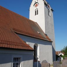
St. Martin (Oberisling)
3.7 km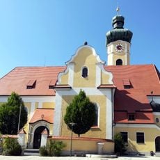
Mariä Himmelfahrt
3.6 km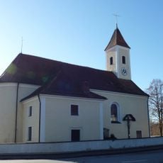
St. Johannes Baptist
3.1 km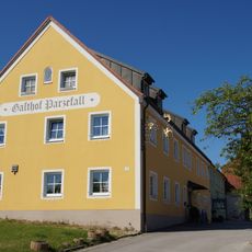
Gasthaus Parzefall
3.8 km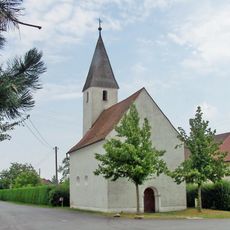
Katholische Nebenkirche St. Margareta
3.2 km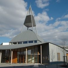
Maria-Magdalena-Kirche (Burgweinting)
4 km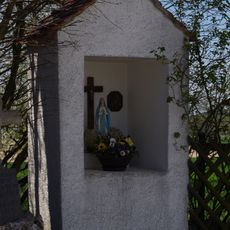
Kapellenbildstock
3.4 km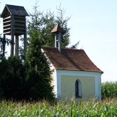
Hofkapelle St. Maria
3.7 km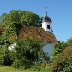
Wegkapelle Vierzehn Nothelfer
4.2 km
Baywa-Gebäude
3.1 km
St. Peter
4 km
Pfarrhof
3.6 km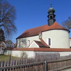
St. Martin
1.9 km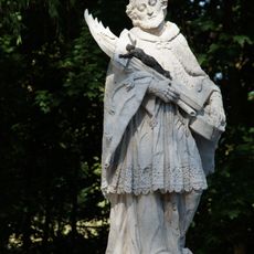
Figur des heiligen Johannes Nepomuk
4 km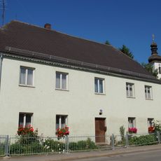
Ehemaliges Mauthaus, jetzt Bauernhaus
4.3 km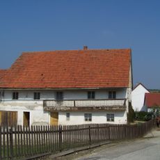
Bauernhaus
2.6 km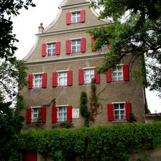
Schloss Hohengebraching
3.7 km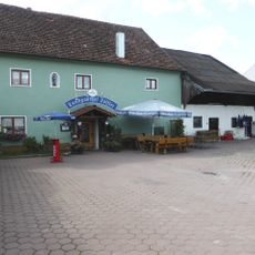
Wirtshaus in Gebelkofen
3 km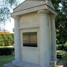
Denkmal zur Erinnerung an Thomas Kozabek 1809
4.3 kmReviews
Visited this place? Tap the stars to rate it and share your experience / photos with the community! Try now! You can cancel it anytime.
Discover hidden gems everywhere you go!
From secret cafés to breathtaking viewpoints, skip the crowded tourist spots and find places that match your style. Our app makes it easy with voice search, smart filtering, route optimization, and insider tips from travelers worldwide. Download now for the complete mobile experience.

A unique approach to discovering new places❞
— Le Figaro
All the places worth exploring❞
— France Info
A tailor-made excursion in just a few clicks❞
— 20 Minutes