
Steinkreuz, Sühnekreuz, mit Resten einer Reliefzeichnung, spätmittelalterlich
Location: Grafenwöhr
Address: Am Hierweg; Staatsstraße 2168
GPS coordinates: 49.73353,11.88675
Latest update: May 11, 2025 12:03
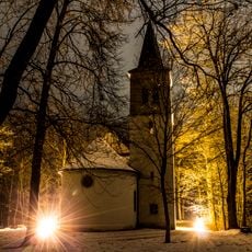
Wallfahrtskirche Maria Hilf
1.6 km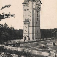
Wasserturm (Grafenwöhr)
2.7 km
St. Georg
5.2 km
Schloss Zintlhammer
5.5 km
Katholische Maria-Hilf-Bergkirche
4.8 km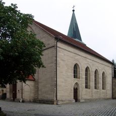
Mariä Himmelfahrt
2 km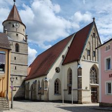
St. Laurentius
4.4 km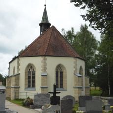
Friedhofkirche Mater Dolorosa
4.1 km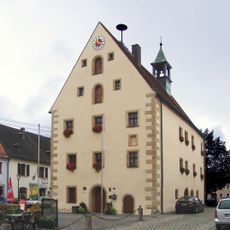
Rathaus Grafenwöhr
1.9 km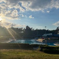
Städtisches Waldbad Grafenwöhr
3.1 km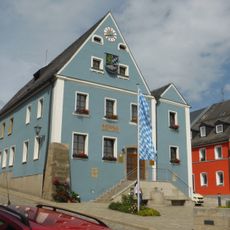
Rathaus
4.6 km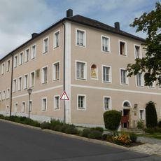
Ehemaliges Pflegschloss, später Landratsamt
4.8 km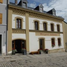
Traufseithaus
4.7 km
Korbbogiges Einfahrtstor
4.7 km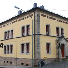
Pfarrhof (Pressath)
5.2 km
Immaculata
4.5 km
Haus
4.5 km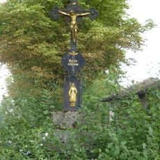
Kruzifix
4.1 km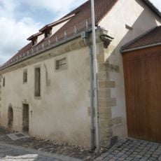
Haus
4.6 km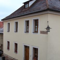
Altes Schulhaus
5.2 km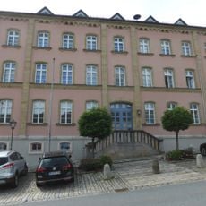
Dreigeschossiger Putzbau
4.6 km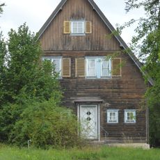
Wohnhaus
4.9 km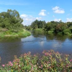
Heidenaab, Creussenaue und Weihergebiet nordwestlich Eschenbach
5.9 km
Haus
4.5 km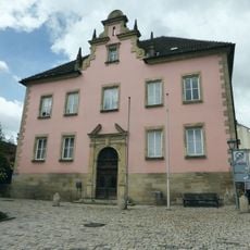
Walmdachbau
4.8 km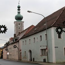
Ehemaliger Gasthof
5.3 km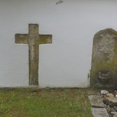
Friedhof
4.7 km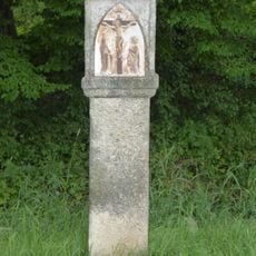
Kreuzweg
4.2 kmReviews
Visited this place? Tap the stars to rate it and share your experience / photos with the community! Try now! You can cancel it anytime.
Discover hidden gems everywhere you go!
From secret cafés to breathtaking viewpoints, skip the crowded tourist spots and find places that match your style. Our app makes it easy with voice search, smart filtering, route optimization, and insider tips from travelers worldwide. Download now for the complete mobile experience.

A unique approach to discovering new places❞
— Le Figaro
All the places worth exploring❞
— France Info
A tailor-made excursion in just a few clicks❞
— 20 Minutes