
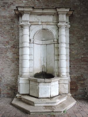
Venezianischer Brunnen, von genuteten Säulen und Gebälk gerahmte Marmornische, Mitte 16. Jahrhundert, 1952 als Stiftung aufgestellt
Location: Augsburg
Address: Nähe Unterer Graben
GPS coordinates: 48.37520,10.90130
Latest update: March 25, 2025 00:59
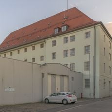
Justizvollzugsanstalt Augsburg
260 m
Kirche St. Stephan
153 m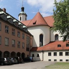
St. Stephen's Abbey
151 m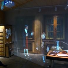
Fugger und Welser Erlebnismuseum
145 m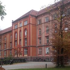
Altes Hauptkrankenhaus
189 m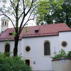
St. Gallus
182 m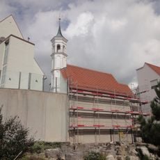
St. Severin
245 m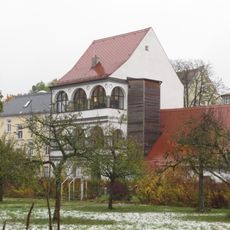
Wieselhaus
142 m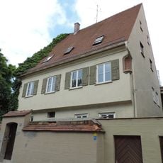
Ehemaliges Domherrenhaus
230 m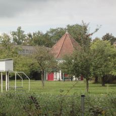
Klostergarten
133 m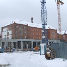
Altes Hauptkrankenhaus
189 m
Wohnhaus
45 m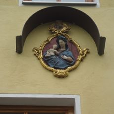
Relief
199 m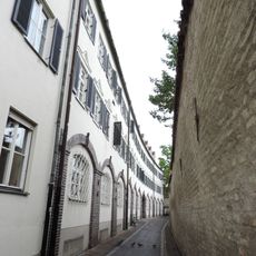
St.-Afra-Heim, Altenheim des Sozialdienstes Katholischer Frauen e. V.
81 m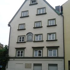
Bürgerhaus
227 m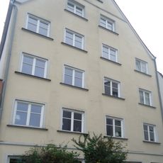
Bürgerhaus
213 m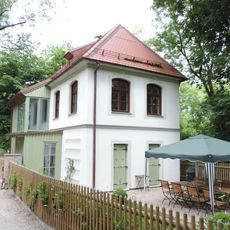
Gartenhaus
171 m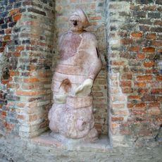
Steinerner Mann
46 m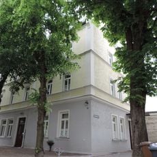
Ehemaliger Gasthof
157 m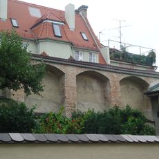
Mauerreste
238 m
Bürgerhaus
65 m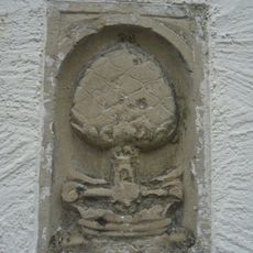
Pinien-Relief
197 m
Wohnhaus
259 m
Mauerstück
212 m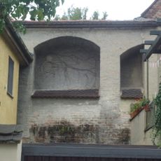
Teilstücke der Nordmauer der Domstadt
200 m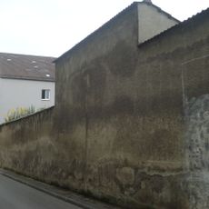
Umfassungsmauer des Klostergartens von St. Stephan
199 m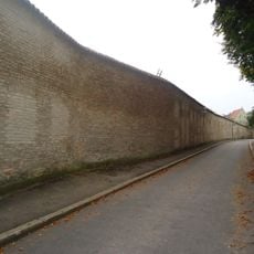
Umfassungsmauer des Klostergartens von St. Stephan
96 m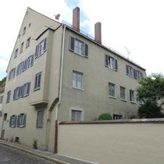
Ehemaliges Domherrenhaus
220 mVisited this place? Tap the stars to rate it and share your experience / photos with the community! Try now! You can cancel it anytime.
Discover hidden gems everywhere you go!
From secret cafés to breathtaking viewpoints, skip the crowded tourist spots and find places that match your style. Our app makes it easy with voice search, smart filtering, route optimization, and insider tips from travelers worldwide. Download now for the complete mobile experience.

A unique approach to discovering new places❞
— Le Figaro
All the places worth exploring❞
— France Info
A tailor-made excursion in just a few clicks❞
— 20 Minutes