
Brücke, einbogiger Granitquadersteinbau, Schlussstein mit Wappenrelief bezeichnet mit 1921, 1936 verbreitert; über die Schwarzach
Location: Schwarzhofen
Address: Hammerstraße, über die Schwarzach
GPS coordinates: 49.39752,12.30907
Latest update: March 3, 2025 03:24
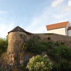
Burgruine Zangenstein
54 m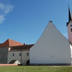
Maria vom Siege
3.3 km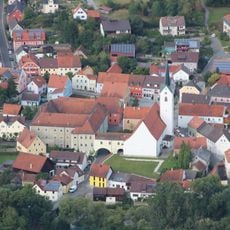
Kloster Schwarzhofen
3.3 km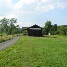
Trojaburg Uckersdorf
731 m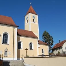
St. Andreas (Altendorf)
2.1 km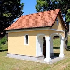
Feldkapelle in Girnitz
1.4 km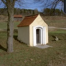
Meischendorfer Zell
1.2 km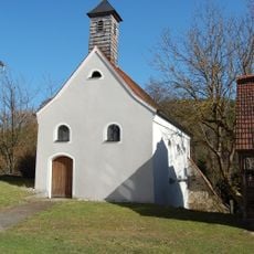
Schlosskapelle
1.6 km
Burgkapelle Zangenstein
66 m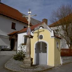
Hauskapelle (Fronhof)
1.5 km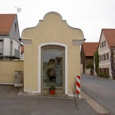
Kapelle heiliger Johannes von Nepomuk
2.1 km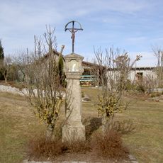
Bildstock
1.5 km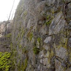
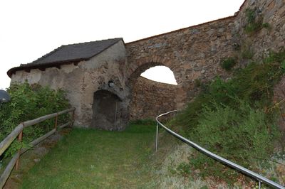
Burgbefestigung
1.5 km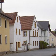
Wohnhaus eines ehemaligen Dreiseithofes
2.2 km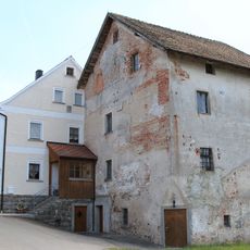
Girnitz 10 (Schwarzhofen)
1.2 km
Ehemaliges Bauernhaus
1.5 km
Wohnhaus
2.2 km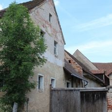
Girnitz 4
1.4 km
Steinkreuz (Altendorf)
1.9 km
Kreuzigungsgruppe
2 km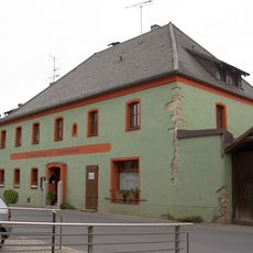
Gasthof
2.1 km
Ringseis Geburtshaus
3.3 km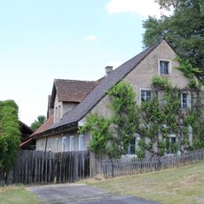
Girnitz 8
1.3 km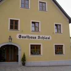
Holzdecke
2.1 km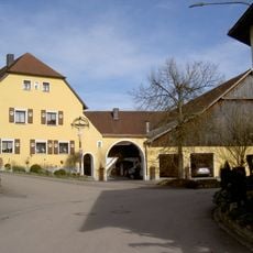
Wohnhaus eines Dreiseithofs
2 km
Schlossbrauerei
1.5 km
Wohnhaus
2.3 km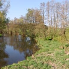
Talsystem von Schwarzach, Auerbach und Ascha
582 mReviews
Visited this place? Tap the stars to rate it and share your experience / photos with the community! Try now! You can cancel it anytime.
Discover hidden gems everywhere you go!
From secret cafés to breathtaking viewpoints, skip the crowded tourist spots and find places that match your style. Our app makes it easy with voice search, smart filtering, route optimization, and insider tips from travelers worldwide. Download now for the complete mobile experience.

A unique approach to discovering new places❞
— Le Figaro
All the places worth exploring❞
— France Info
A tailor-made excursion in just a few clicks❞
— 20 Minutes