
Rotzenmühle, mühlengebäude, Wohnstallhaus, langgestreckter zweigeschossiger Walm- bzw. Halbwalmdachbau über leicht kurviertem Grundriss, nach Osten ehemaliger Stall, Mahlwerk nach Westen, Türrahmung bezeichnet mit „1786“, im Kern älter
Location: Püchersreuth
Address: Rotzenmühle 1; Untere Leite
GPS coordinates: 49.76704,12.20844
Latest update: April 9, 2025 14:33
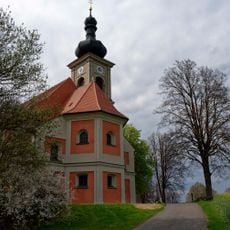
St. Quirin
743 m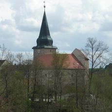
Burg Wildenau (Plößberg)
3.7 km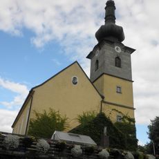
St. Matthäus
1.9 km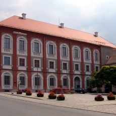
Neues Schloss
4.8 km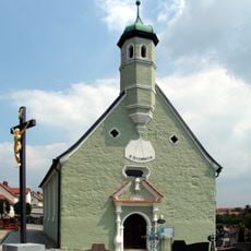
Hl. Dreifaltigkeit Neustadt a.d. Waldnaab
4.5 km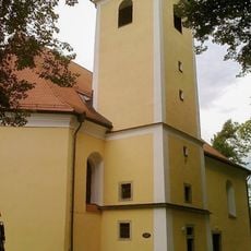
Saint Anne Church
4.4 km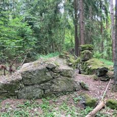
Former Burgstall, so-called Mohrenstein
3.8 km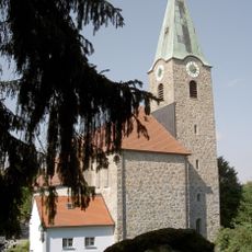
St. Salvator (Störnstein)
3.7 km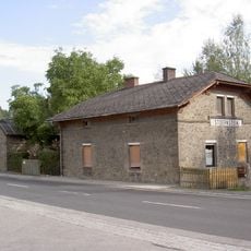
Station building at Störnstein station
4 km
Pfarrhof in Wurz
1.8 km
Christ Church
4.6 km
Denkenreuther Dorfkapelle
3.5 km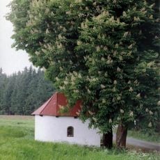
Feldkapelle
3.5 km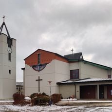
Heilig-Geist-Kirche (Neuhaus)
4.4 km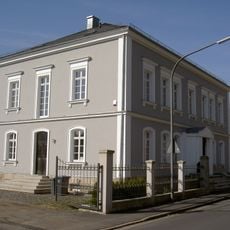
Villa Johann-Dietl-Straße 20
4.5 km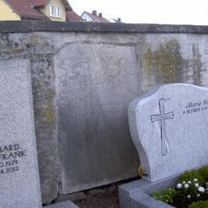
Friedhof
4.6 km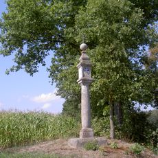
Bildstock im G'fries
1.9 km
Tiefbrunnen
3.7 km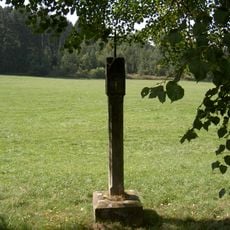
Bildstock Wirrenlohe (Rastenhof)
2.4 km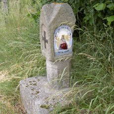
Bildstock (Denkenreuth)
3.5 km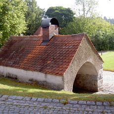
Bakehouse (Störnstein)
3.6 km
Steinkreuz Wurz
1.9 km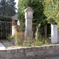
Bildstock Sonnenstraße 20
4.1 km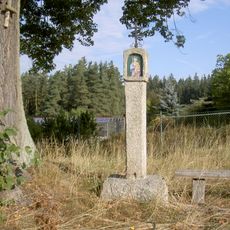
Bildstock bei der Linde an der St2181
4.6 km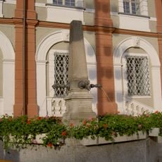
Brunnen
4.8 km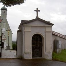
Ädikula an der Friedhofsmauer
4.6 km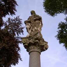
Dreifaltigkeitssäule an der Friedhofsmauer
4.5 km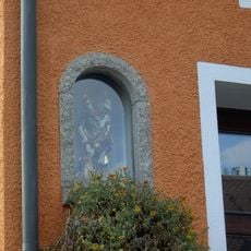
Holzfigur St. Florian
4.8 kmReviews
Visited this place? Tap the stars to rate it and share your experience / photos with the community! Try now! You can cancel it anytime.
Discover hidden gems everywhere you go!
From secret cafés to breathtaking viewpoints, skip the crowded tourist spots and find places that match your style. Our app makes it easy with voice search, smart filtering, route optimization, and insider tips from travelers worldwide. Download now for the complete mobile experience.

A unique approach to discovering new places❞
— Le Figaro
All the places worth exploring❞
— France Info
A tailor-made excursion in just a few clicks❞
— 20 Minutes