
Steinkreuz, granit, nachmittelalterlich; an der Straße nach Trebsau in der Flur Kreuzwald
Location: Schirmitz
Address: an der Straße nach Trebsau
GPS coordinates: 49.64471,12.19231
Latest update: April 9, 2025 23:20
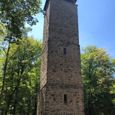
Vierlingsturm
3.9 km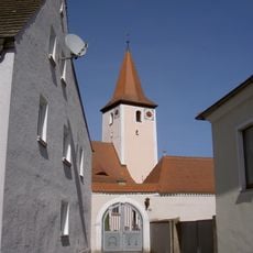
St. Bartholomäus
3.9 km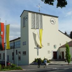
St. Johannes
3.7 km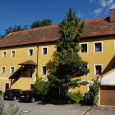
Neues Schloss
2.4 km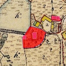
Schlösschen
2.2 km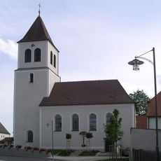
St. Jakobus (Schirmitz)
1.9 km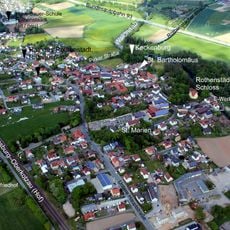
Burgstall Keckenburg
3.9 km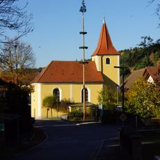
St. Barbara
3.3 km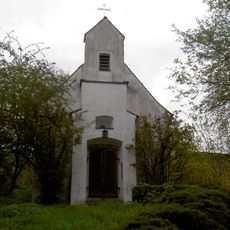
Dorfkapelle
3.5 km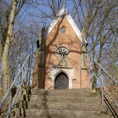
Gruftkapelle
3.8 km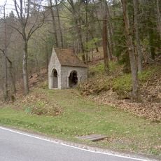
Kriegergedächtniskapelle
3.8 km
Feld- und Waldgebiet Almesbach - Im Ibelnest - Eichrangen - Fischerberg - Buchrangen-Ebene - Hint. Neuried - Hl. Staude - Sauhübel
3.7 km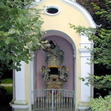
Brückenkapelle heiliger Johannes von Nepomuk
4 km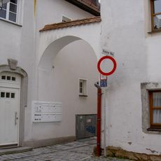
Schwibbogen
3.9 km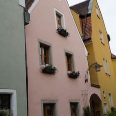
Wohnhaus
3.9 km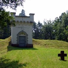
Zwei Steinkreuze beim Wasserhochbehälter
2.2 km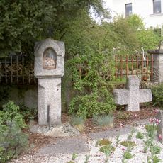
Weiße Marter in Weiden in der Oberpfalz
3.3 km
Wohnhaus
3.9 km
Gutshof
3.9 km
Wohnhaus
4 km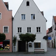
Eckhaus
4 km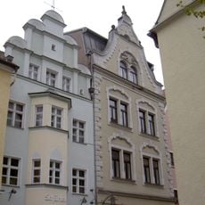
Unterer Markt 4
4 km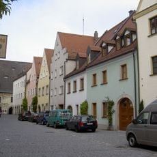
Wohnhaus
3.9 km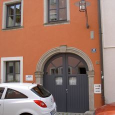
Wohnhaus
3.9 km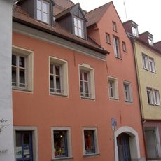
Ehemaliges Ackerbürgerhaus
4 km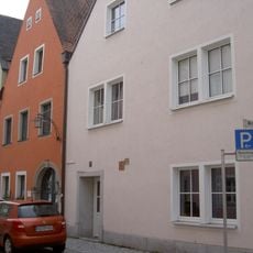
Steintafeln
3.9 km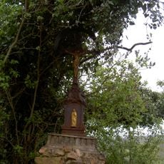
Bildstock
3.5 km
Ehemaliges Ackerbürgerhaus
3.9 kmReviews
Visited this place? Tap the stars to rate it and share your experience / photos with the community! Try now! You can cancel it anytime.
Discover hidden gems everywhere you go!
From secret cafés to breathtaking viewpoints, skip the crowded tourist spots and find places that match your style. Our app makes it easy with voice search, smart filtering, route optimization, and insider tips from travelers worldwide. Download now for the complete mobile experience.

A unique approach to discovering new places❞
— Le Figaro
All the places worth exploring❞
— France Info
A tailor-made excursion in just a few clicks❞
— 20 Minutes