
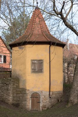
Spitalhof, Turm, kleines siebeneckiges Gebäude mit Zeltdach, wohl 16. Jahrhundert
Location: Rothenburg ob der Tauber
Address: Nähe Spitalhof
GPS coordinates: 49.37183,10.17942
Latest update: March 2, 2025 20:36
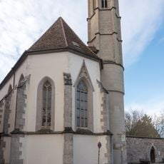
Hl. Geist
70 m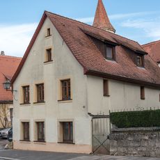
Wohnhaus
96 m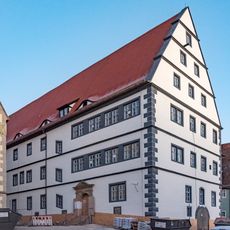
Spitalgasse 48, Spitalgebäude
77 m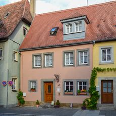
Spitalgasse 47
112 m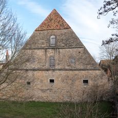
Schafscheune, Mühlacker 3, Rothenburg ob der Tauber
28 m
Spitalgasse 45 (Rothenburg ob der Tauber)
108 m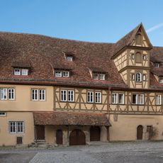
Spitalhof 6
29 m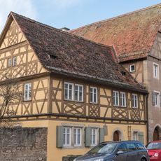
Spitalgasse 36
74 m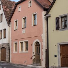
Spitalgasse 35
98 m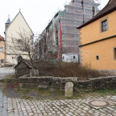
Spitalhof, Pferdeschwemme
47 m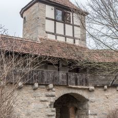
Kalkturm
74 m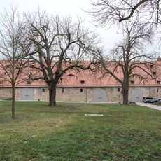
Spitalhof 8, Reichsstadthalle (Rothenburg ob der Tauber)
98 m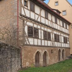
Spitalhof 7
29 m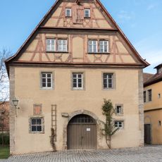
Spitalhof 3
55 m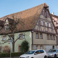
Spitalgasse 32
91 m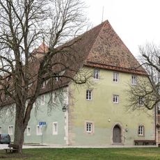
Spitalhof 4
98 m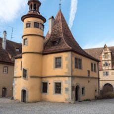
Spitalhof 2
57 m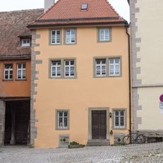
Spitalhof 1, Pfarrhaus
55 m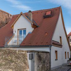
Roßmühlgasse 2
80 m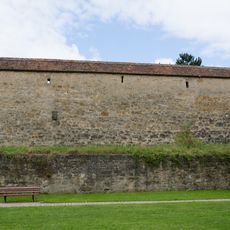
City walls of Rothenburg ob der Tauber Kappenzipfel
103 m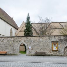
Spitalhof 1, Alte Pfründe
53 m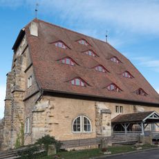
Mühlacker 1
66 m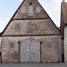
Spitalgasse 43 (Rothenburg ob der Tauber)
103 m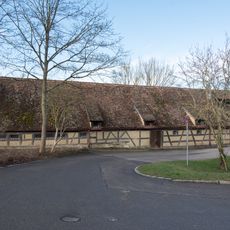
Mühlacker 5
72 m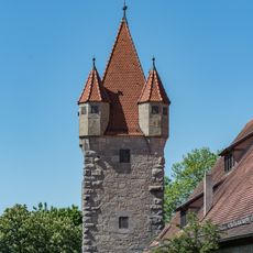
Wachturm Stöberleinsturm in Rothenburg ob der Tauber
79 m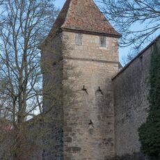
Streichwehr Fischturm in Rothenburg ob der Tauber
106 m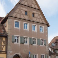
Spitalgasse 34
71 m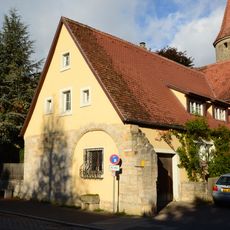
Ehemaliges Wohnstallhaus
97 mVisited this place? Tap the stars to rate it and share your experience / photos with the community! Try now! You can cancel it anytime.
Discover hidden gems everywhere you go!
From secret cafés to breathtaking viewpoints, skip the crowded tourist spots and find places that match your style. Our app makes it easy with voice search, smart filtering, route optimization, and insider tips from travelers worldwide. Download now for the complete mobile experience.

A unique approach to discovering new places❞
— Le Figaro
All the places worth exploring❞
— France Info
A tailor-made excursion in just a few clicks❞
— 20 Minutes