
Mühle Mantel, mühle, Halbwalmdachbau bez. 1763 und 1801, Scheune mit Halbwalmdach, bez. 1853
Location: Mantel
Address: Freihunger Straße 16; zwei Gebäude auf beiden Seiten der Straße
GPS coordinates: 49.65054,12.04230
Latest update: March 23, 2025 13:47
GKK Etzenricht
5.7 km
Christoph 80
6.3 km
Schloss Steinfels
3.7 km
St. Bartholomäus
7.6 km
St. Dionysius
4.6 km
Mariä Mutterschaft
7.5 km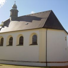
St. Moritz
563 m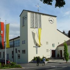
St. Johannes
7.4 km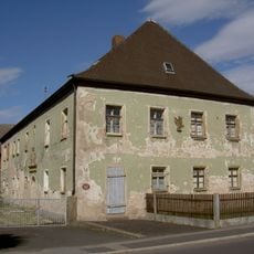
Forstamt Mantel
179 m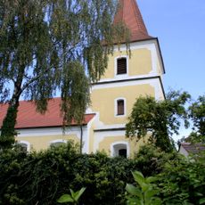
Dionysiuskirche
4.7 km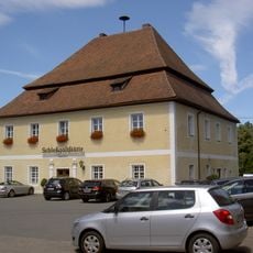
Schloss Rupprechtsreuth
2.2 km
St. Martin (Kaltenbrunn bei Weiherhammer, katholisch)
7 km
Heilige Familie (Weiherhammer)
2.2 km
Burgstall Keckenburg
7.6 km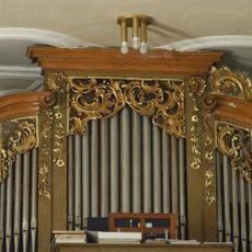
St. Martin (Kaltenbrunn)
7 km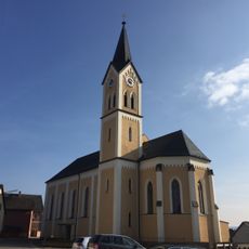
Katholische Expositurkirche St. Peter und Paul
237 m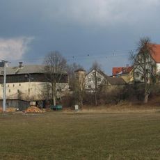
Evangelisch-Lutherische Pfarrkirche St. Peter und Paul
137 m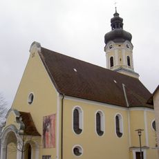
Herz-Jesu-Kirche
7 km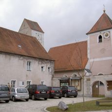
St. Nikolaus (Kohlberg, Upper Palatinate)
6.8 km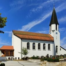
St. Nikolaus
4.3 km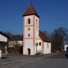
St. Laurentius
6.5 km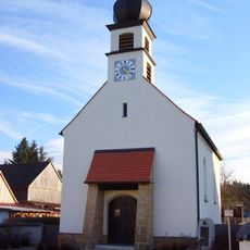
Maria Immaculata
4.8 km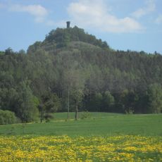
LSG Oberpfälzer Hügelland im westlichen Landkreis Neustadt a.d.Waldnaab
6.7 km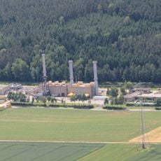
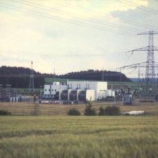
Rothenstadt compressor station
6.7 km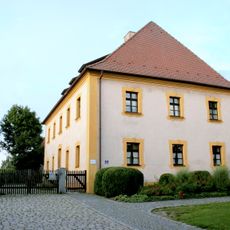
Evangelisch-lutherisches Pfarrhaus
4.6 km
Gutshof
7.6 km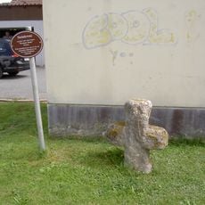
Steinkreuz
860 m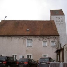
Altes Schulhaus
6.8 kmReviews
Visited this place? Tap the stars to rate it and share your experience / photos with the community! Try now! You can cancel it anytime.
Discover hidden gems everywhere you go!
From secret cafés to breathtaking viewpoints, skip the crowded tourist spots and find places that match your style. Our app makes it easy with voice search, smart filtering, route optimization, and insider tips from travelers worldwide. Download now for the complete mobile experience.

A unique approach to discovering new places❞
— Le Figaro
All the places worth exploring❞
— France Info
A tailor-made excursion in just a few clicks❞
— 20 Minutes