
Wasserverteilungsanlage
Wasserverteilungsanlage, im offenen Stadtbach mit fünf Abzweigungen durch Öffnungen in fünf Granitplatten, wohl 18. Jh.; 150 m südöstlich der Grabenmühle
Location: Pleystein
Address: südöstlich der Grabenmühle
GPS coordinates: 49.64551,12.41397
Latest update: March 28, 2025 07:46
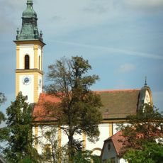
Wallfahrtskirche Heiligkreuz
189 m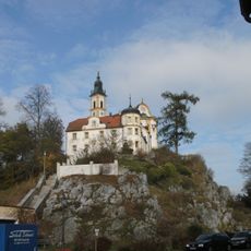
Kreuzberg in Pleystein
207 m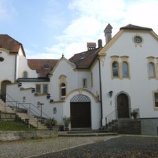
Kloster auf dem Kreuzberg in Pleystein
200 m
Alte Dorfkapelle Lohma
2.9 km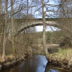
Zottbachbrücke
2.3 km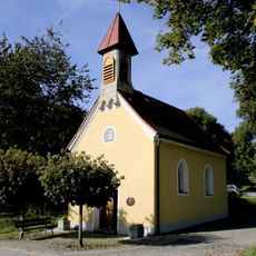
Dorfkapelle
3.8 km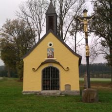
Kapelle Peugenhammer
2 km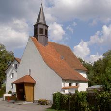
Dorfkapelle Lohma (Pleystein)
2.9 km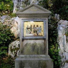
Kreuzwegstationen
259 m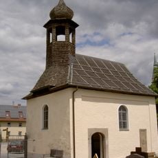
Friedhofskapelle (Pleystein)
612 m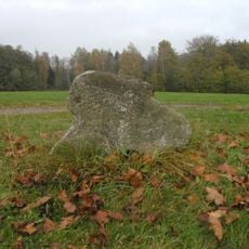
Steinkreuz bei der Kapelle Peugenhammer
1.9 km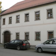
Pleystein Marktplatz 15
370 m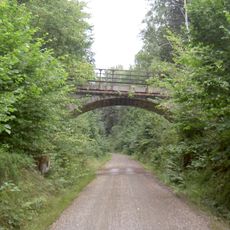
Wegbrücke im Kühlbühl
2.2 km
Pleystein Marktplatz 19
401 m
Friedhof Pleystein
665 m
Wegkreuz
3.8 km
Traufseithaus
386 m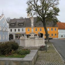
Holztor
286 m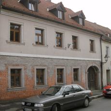
Pleystein Marktplatz 21
398 m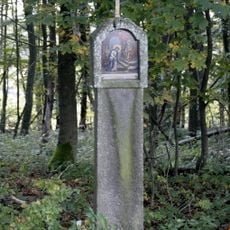
Kreuzweg
4.2 km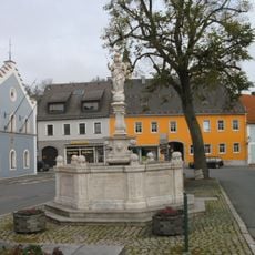
Kriegerdenkmal
316 m
Fuchsn-Marterl Braunetsried
4.2 km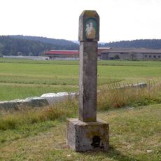
Schaftbildstock Lohma
2.7 km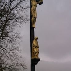
Eisenkreuz bei der Kapelle Peugenhammer
2 km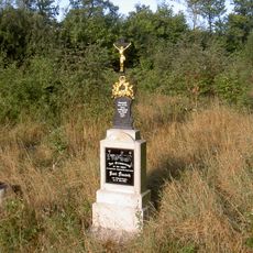
Pauschkreuz
4.1 km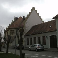
Kath. Pfarrhof
489 m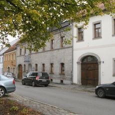
Traufseithaus
363 m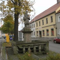
St. Nepomukstatue in Pleystein auf dem Marktplatz
409 mReviews
Visited this place? Tap the stars to rate it and share your experience / photos with the community! Try now! You can cancel it anytime.
Discover hidden gems everywhere you go!
From secret cafés to breathtaking viewpoints, skip the crowded tourist spots and find places that match your style. Our app makes it easy with voice search, smart filtering, route optimization, and insider tips from travelers worldwide. Download now for the complete mobile experience.

A unique approach to discovering new places❞
— Le Figaro
All the places worth exploring❞
— France Info
A tailor-made excursion in just a few clicks❞
— 20 Minutes