
Wegkreuz, bez. 1899; am Ortsausgang Richtung Isgier
Location: Pleystein
Address: am Ortsausgang Richtung Isgier
GPS coordinates: 49.61892,12.42468
Latest update: May 31, 2025 06:33
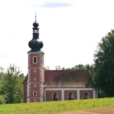
Wieskirche (Grub)
3 km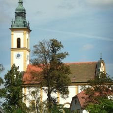
Wallfahrtskirche Heiligkreuz
3.2 km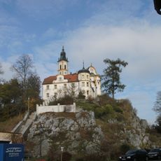
Kreuzberg in Pleystein
3.2 km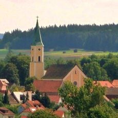
Peter und Paul Kirche (Moosbach)
3.2 km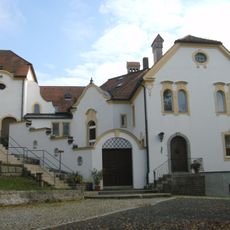
Kloster auf dem Kreuzberg in Pleystein
3.2 km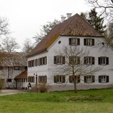
Hammerhaus Gröbenstädt
2.8 km
Alte Dorfkapelle Lohma
178 m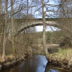
Zottbachbrücke
931 m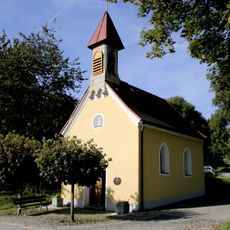
Dorfkapelle
2.9 km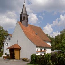
Dorfkapelle Lohma (Pleystein)
135 m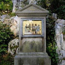
Kreuzwegstationen
3.2 km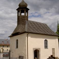
Friedhofskapelle (Pleystein)
3.1 km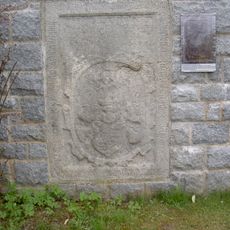
Friedhof Moosbach (Upper Palatinate)
3.2 km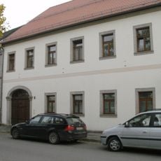
Pleystein Marktplatz 15
3.1 km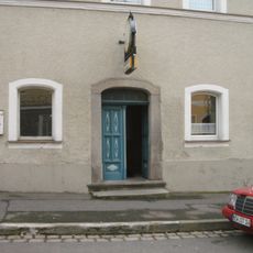
Pleystein Marktplatz 19
3.1 km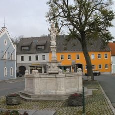
Kriegerdenkmal
3.1 km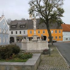
Holztor
3.1 km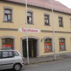
Traufseithaus
3.1 km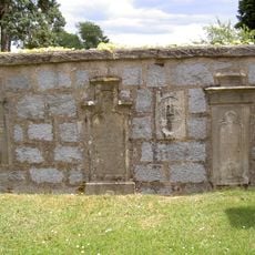
Friedhof Pleystein
3 km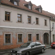
Pleystein Marktplatz 21
3.1 km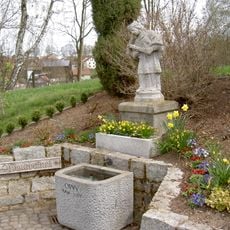
Steinerne Brunnenfigur hl. Johannes von Nepomuk
3.1 km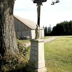
Wegkreuz
2.6 km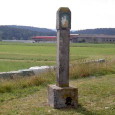
Schaftbildstock Lohma
517 m
Fuchsn-Marterl Braunetsried
3.2 km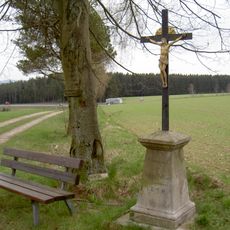
Delling-Kreuz Braunetsried
3.2 km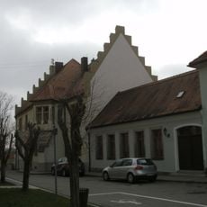
Kath. Pfarrhof
3.1 km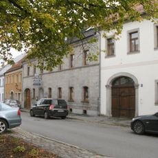
Traufseithaus
3.1 km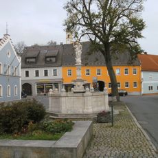
Holztor
3.2 kmReviews
Visited this place? Tap the stars to rate it and share your experience / photos with the community! Try now! You can cancel it anytime.
Discover hidden gems everywhere you go!
From secret cafés to breathtaking viewpoints, skip the crowded tourist spots and find places that match your style. Our app makes it easy with voice search, smart filtering, route optimization, and insider tips from travelers worldwide. Download now for the complete mobile experience.

A unique approach to discovering new places❞
— Le Figaro
All the places worth exploring❞
— France Info
A tailor-made excursion in just a few clicks❞
— 20 Minutes