
Dorfkreuz, wegkreuz, Holzkruzifix, farbig gefasst, um 1900
Location: Pirk
Address: Matzlesberger Straße, am Ortsausgang Richtung Hochdorf
GPS coordinates: 49.60106,12.21112
Latest update: March 28, 2025 21:23
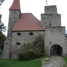
Burgruine Leuchtenberg
3.3 km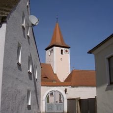
St. Bartholomäus
5.9 km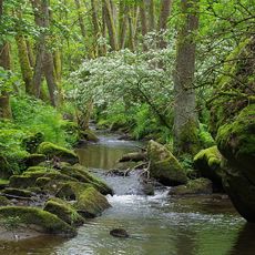
Lerautal bei Leuchtenberg
3.5 km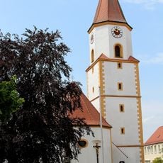
St. Martin
5 km
Neues Schloss
5.1 km
St. Ulrich
2.3 km
Schlösschen
3 km
Roggenstein St. Erhard
5.8 km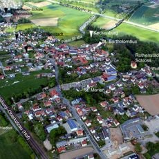
Burgstall Keckenburg
5.9 km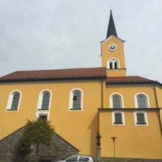
Saint Margaret Church (Leuchtenberg)
3.3 km
St. Barbara
2.7 km
Burgstall Altes Haus
5.5 km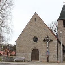
Immaculate Conception church (Kaimling)
4.5 km
St. Sebastian
3.7 km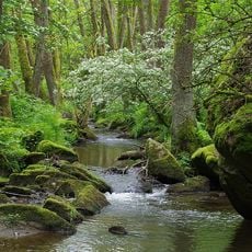
Wolfslohklamm bei Sargmühle
4.1 km
Katholische Wallfahrtskirche St. Nikolaus auf dem Koppelberg
4.5 km
Gruftkapelle
5.9 km
Hammerschloss
5.4 km
Einsiedelkapelle
4.6 km
Katholischer Pfarrhof
2.3 km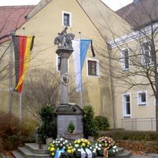
Kriegerdenkmal
5 km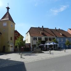
Hußturm
5 km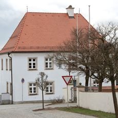
Pfarrhof
5.8 km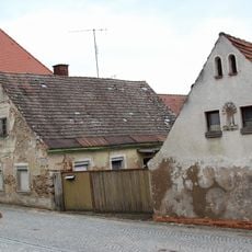
Satteldachhaus
5.8 km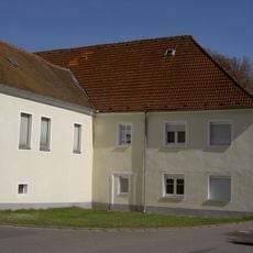
Gutshof
5.9 km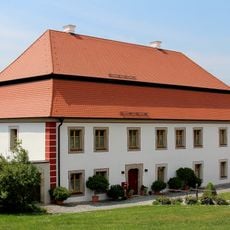
Ehemaliger katholischer Pfarrhof
5 km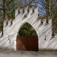
Hofmarkschloss
5.8 km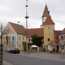
Ehemaliges Rathaus
5 kmReviews
Visited this place? Tap the stars to rate it and share your experience / photos with the community! Try now! You can cancel it anytime.
Discover hidden gems everywhere you go!
From secret cafés to breathtaking viewpoints, skip the crowded tourist spots and find places that match your style. Our app makes it easy with voice search, smart filtering, route optimization, and insider tips from travelers worldwide. Download now for the complete mobile experience.

A unique approach to discovering new places❞
— Le Figaro
All the places worth exploring❞
— France Info
A tailor-made excursion in just a few clicks❞
— 20 Minutes