
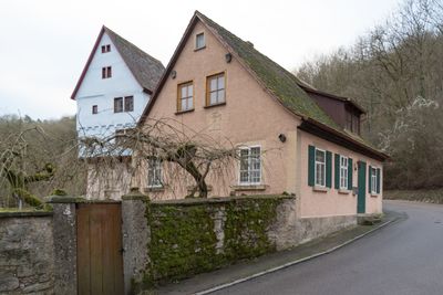
Taubertalweg 100, erdgeschossiger Massivbau mit Satteldach, bezeichnet „1883“
Location: Rothenburg ob der Tauber
Address: Taubertalweg 100
GPS coordinates: 49.37659,10.16867
Latest update: March 9, 2025 17:14
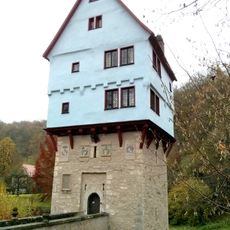
Toppler Castle
11 m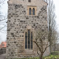
Alte Burg
307 m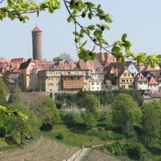
Парк Бурггартен
396 m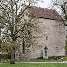
Alte Burg, Kapelle
391 m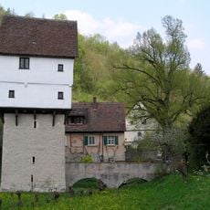
Topplerschlösschen
14 m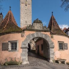
Wärterhaus Alte Burg 1 in Rothenburg ob der Tauber
444 m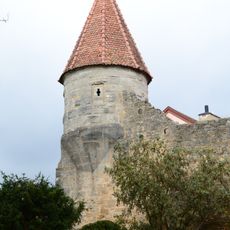
Stadtbefestigung Alte Burg in Rothenburg ob der Tauber
443 m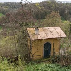
Burggasse 21
427 m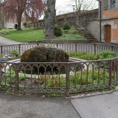
Alte Burg, Brunnen
338 m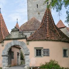
Burgtor
442 m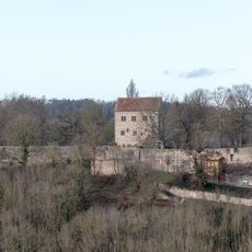
Alte Burg, Ringmauer
333 m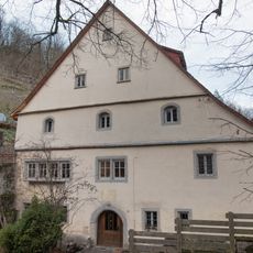
Taubertalweg 101, Fuchsmühle
33 m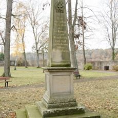
Alte Burg, Kriegerdenkmal
298 m
Herrngasse 38
453 m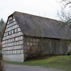
Taubertalweg 90
133 m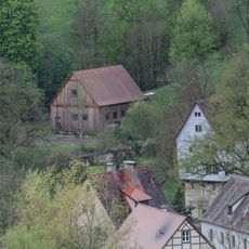
Taubertalweg, Kaiserstuhl, Scheune (Rothenburg ob der Tauber)
134 m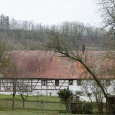
Taubertalweg 83
191 m
Taubertalweg 80, Hansrödermühle
248 m
Taubertalweg 103a
39 m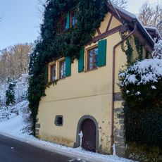
Wohnhaus
280 m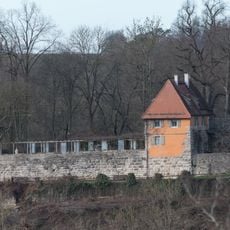
Alte Burg 2 (Rothenburg ob der Tauber)
354 m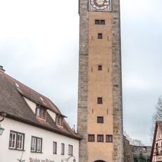
Castle Gate
454 m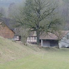
Taubertalweg 70, Lukasrödermühle (Rothenburg ob der Tauber)
453 m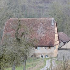
Ehemalige Getreide- und Ölmühle, sogenannte Lukasrödermühle, Wohnhaus
448 m
Alte Burg, Barockgarten (Rothenburg ob der Tauber)
341 m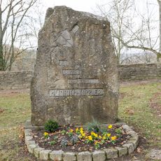
Alte Burg, Toppler-Gedenkstein
293 m
Ehemaliges Gasthaus
454 m
Herrngasse 38a
455 mVisited this place? Tap the stars to rate it and share your experience / photos with the community! Try now! You can cancel it anytime.
Discover hidden gems everywhere you go!
From secret cafés to breathtaking viewpoints, skip the crowded tourist spots and find places that match your style. Our app makes it easy with voice search, smart filtering, route optimization, and insider tips from travelers worldwide. Download now for the complete mobile experience.

A unique approach to discovering new places❞
— Le Figaro
All the places worth exploring❞
— France Info
A tailor-made excursion in just a few clicks❞
— 20 Minutes