
City walls of Rothenburg ob der Tauber from Ruckesser to Kobolzeller Tor
City walls of Rothenburg ob der Tauber from Ruckesser to Kobolzeller Tor
Location: Bavaria
Part of: Spitalgasse 1
Address: Spitalgasse 1
GPS coordinates: 49.37383,10.18036
Latest update: March 14, 2025 16:48
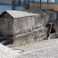
Fischbehälter Untere Schmiedgasse in Rothenburg ob der Tauber
72 m
Kobolzeller Steige 4
68 m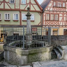
Plönlein, Laufbrunnen
68 m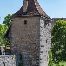
Wachturm Mühlacker 9 in Rothenburg ob der Tauber
61 m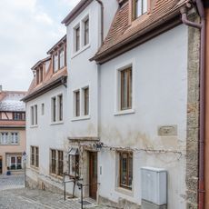
Plönlein 1, Ehemaliges Nebengebäude (Rothenburg ob der Tauber)
68 m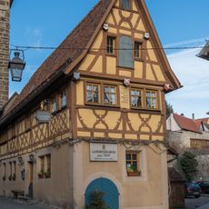
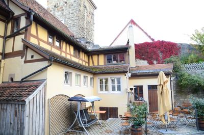
Spitalgasse 1
0 m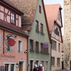
Spitalgasse 4 (Rothenburg ob der Tauber)
20 m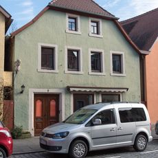
Spitalgasse 7
36 m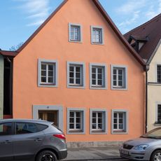
Spitalgasse 9
45 m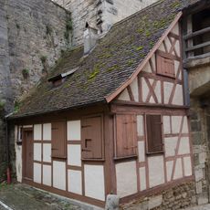
Stadtzollhaus Kobolzeller Steige 17 in Rothenburg ob der Tauber
58 m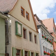
Kobolzeller Steige 12
48 m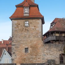
Kobolzeller Tor, Torturm
39 m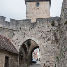
Kobolzeller Tor, Torbarbakane
40 m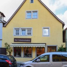
Spitalgasse 5
27 m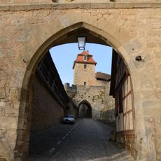
Stadttor Kobolzeller Steige in Rothenburg ob der Tauber
50 m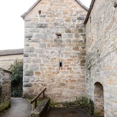
Wachturm Sterngasse 8 in Rothenburg ob der Tauber
54 m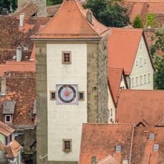
Siebersturm
16 m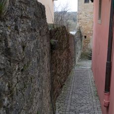
Stadtmauer
16 m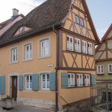
Plönlein 2
61 m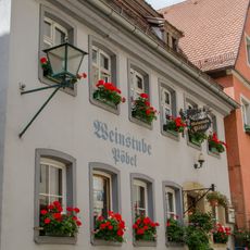
Kobolzeller Steige 10
53 m
Spitalgasse 13
59 m
Kobolzeller Steige 14
44 m
Spitalgasse 11 (Rothenburg ob der Tauber)
52 m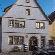
Spitalgasse 3
20 m
Plönlein 10
29 m
Plönlein 4
52 m
Plönlein 3
40 m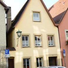
Wohnhaus
47 mReviews
Visited this place? Tap the stars to rate it and share your experience / photos with the community! Try now! You can cancel it anytime.
Discover hidden gems everywhere you go!
From secret cafés to breathtaking viewpoints, skip the crowded tourist spots and find places that match your style. Our app makes it easy with voice search, smart filtering, route optimization, and insider tips from travelers worldwide. Download now for the complete mobile experience.

A unique approach to discovering new places❞
— Le Figaro
All the places worth exploring❞
— France Info
A tailor-made excursion in just a few clicks❞
— 20 Minutes