
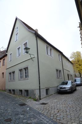
Kirchplatz 11, schmaler zweigeschossiger Eckbau mit steilem Satteldach, 16./18. Jahrhundert
Location: Rothenburg ob der Tauber
Address: Kirchplatz 11
GPS coordinates: 49.37839,10.17846
Latest update: March 5, 2025 22:10

Judengasse 10
44 m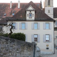
Deutschherrngasse 1 (Rothenburg ob der Tauber)
34 m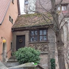
Kirchplatz 9, Friedhofskapelle
43 m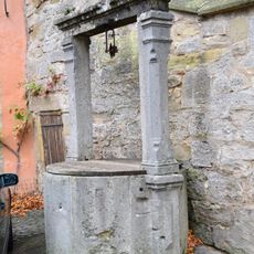
Ziehbrunnen
39 m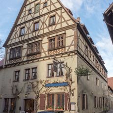
Kirchplatz 8, Hauptgebäude
55 m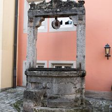
Sülzengäßchen 2, Eckelesbrunnen
48 m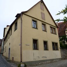
Küblersgäßchen 2
38 m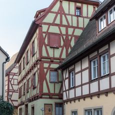
Heugasse 7
32 m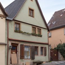
Sülzengäßchen 3
50 m
Eckele 2, Nebengebäude
18 m
Kirchplatz 10
19 m
Deutschherrngasse 3
56 m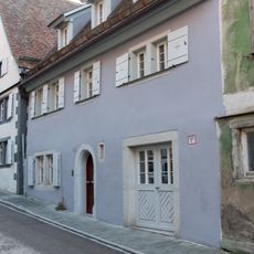
Judengasse 14
38 m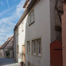
Küblersgäßchen 9
27 m
Küblersgäßchen 13
27 m
Kirchplatz 12
17 m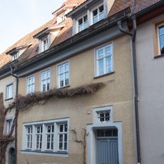
Judengasse 23
57 m
Küblersgäßchen 11
21 m
Küblersgäßchen 15
25 m
Doppelhaus
39 m
Kirchplatz 13 (Rothenburg ob der Tauber)
30 m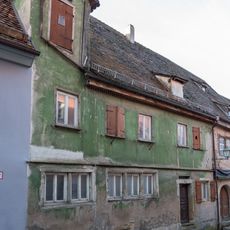
Judengasse 12 (Rothenburg ob der Tauber)
39 m
Kirchplatz 9, Friedhofseinfriedung
32 m
Eckele 2, Hauptgebäude
27 m
Judengasse 21
56 m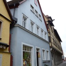
Heugasse 2
55 m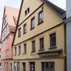
Heugasse 4, 6 (Rothenburg ob der Tauber)
50 m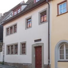
Judengasse 8
50 mReviews
Visited this place? Tap the stars to rate it and share your experience / photos with the community! Try now! You can cancel it anytime.
Discover hidden gems everywhere you go!
From secret cafés to breathtaking viewpoints, skip the crowded tourist spots and find places that match your style. Our app makes it easy with voice search, smart filtering, route optimization, and insider tips from travelers worldwide. Download now for the complete mobile experience.

A unique approach to discovering new places❞
— Le Figaro
All the places worth exploring❞
— France Info
A tailor-made excursion in just a few clicks❞
— 20 Minutes