
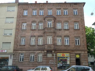
Wölckernstraße 66, building in Nuremberg, Middle Franconia, Germany
Location: Nuremberg
Address: Wölckernstraße 66
GPS coordinates: 49.44108,11.08786
Latest update: March 2, 2025 20:15
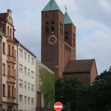
Gustav-Adolf-Gedächtniskirche (Lichtenhof, Nuremberg)
379 m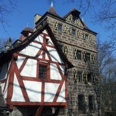
Petzenschloss (Nürnberg)
392 m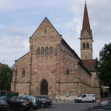
Sacred Heart Church
90 m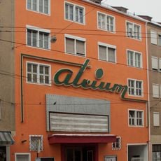
Atrium Filmpalast
110 m
Peter-Henlein-Straße 71
555 m
Untere Baustraße 20
533 m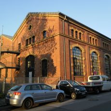
Hinterm Bahnhof 35
427 m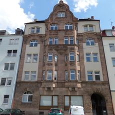
Wirthstraße 27
72 m
Glockenhofstraße 28
399 m
Pillenreuther Straße 41
419 m
Peter-Henlein-Straße 85
453 m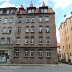
Pillenreuther Straße 45
421 m
Herrensitz Glockenhof
494 m
Pillenreuther Straße 43
421 m
Guttenbergplatz 9 (D-5-64-000-2315)
288 m
Berufsschule 1
506 m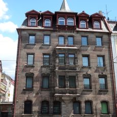
Pillenreuther Straße 35
424 m
Glockenhofstraße 29 a
450 m
Kopernikusplatz 10 (D-5-64-000-1083)
555 m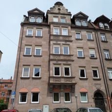
Glockenhofstraße 29
444 m
Kopernikusplatz 16 (D-5-64-000-1085)
551 m
Kopernikusplatz 14
554 m
Aufseßplatz 5 (D-5-64-000-122)
553 m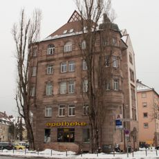
Holzgartenstraße 1
520 m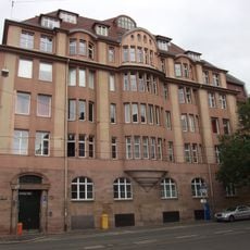
Ehemaliges Lager- und Verwaltungsgebäude der Mechanischen Wollwarenfabrik Lichtenhof
297 m
Wölckernstraße 19
405 m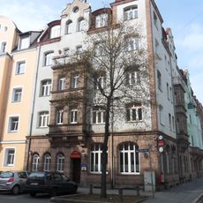
Mietshaus in Ecklage
249 m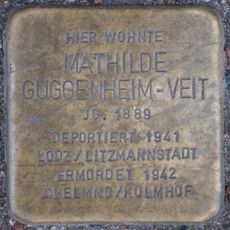
Stolperstein dedicated to Mathilde Guggenheim-Veit
408 mReviews
Visited this place? Tap the stars to rate it and share your experience / photos with the community! Try now! You can cancel it anytime.
Discover hidden gems everywhere you go!
From secret cafés to breathtaking viewpoints, skip the crowded tourist spots and find places that match your style. Our app makes it easy with voice search, smart filtering, route optimization, and insider tips from travelers worldwide. Download now for the complete mobile experience.

A unique approach to discovering new places❞
— Le Figaro
All the places worth exploring❞
— France Info
A tailor-made excursion in just a few clicks❞
— 20 Minutes