
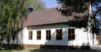
Evangelische Kirche, Cultural heritage monument in Linter
Location: Linter
Address: Kirchplatz
GPS coordinates: 50.37017,8.09016
Latest update: March 8, 2025 05:59
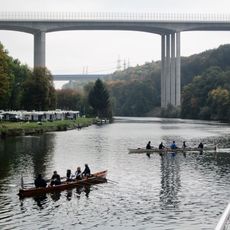
Lahntal Bridge
2.2 km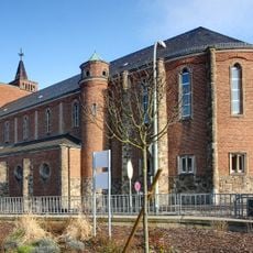
St. Marien
1.9 km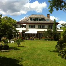
Villa Scheid
1.7 km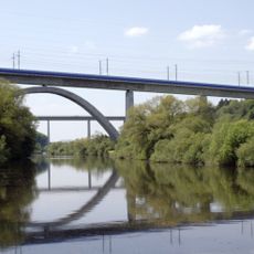
Lahntal Bridge
2.2 km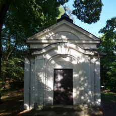
Kreuzkapelle mit Kreuzweg und Ölberg (Limburg an der Lahn)
2 km
Alte Schule
310 m
Kirchfelder Straße 7
2.3 km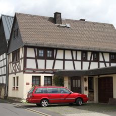
Langgasse 9
305 m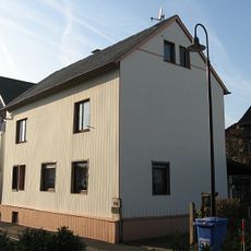
Langgasse 14
303 m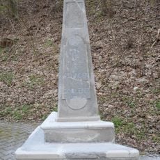
Stundenstein
2.2 km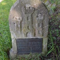
Grenzstein Limburg Lahnufer
2.2 km
Langgasse 11
331 m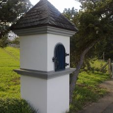
Bildstock
2.2 km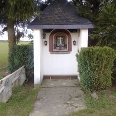
Bildstock
1.9 km
Haus Arche
2.2 km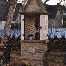
Bildstock
2.3 km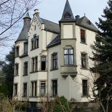
Villa Busch Limburg a d Lahn
2.3 km
Frankfurter Straße 24
2.2 km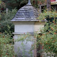
Bildstock Frankfurter Straße
2.2 km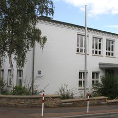
Erich-Kästner-Schule
1.7 km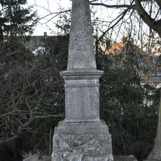
Kriegerdenkmal
2.2 km
Langgasse 7
2.3 km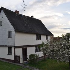
Kleines Wohnhaus
2.3 km
Wendelinuskapelle
2.2 km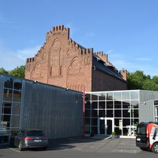
Frankfurter Straße 47
2.2 km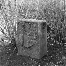
Gemarkungsstein
2 km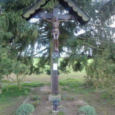
Feldkreuz
1.8 km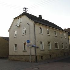
Kirchfelder Straße 1
2.3 kmVisited this place? Tap the stars to rate it and share your experience / photos with the community! Try now! You can cancel it anytime.
Discover hidden gems everywhere you go!
From secret cafés to breathtaking viewpoints, skip the crowded tourist spots and find places that match your style. Our app makes it easy with voice search, smart filtering, route optimization, and insider tips from travelers worldwide. Download now for the complete mobile experience.

A unique approach to discovering new places❞
— Le Figaro
All the places worth exploring❞
— France Info
A tailor-made excursion in just a few clicks❞
— 20 Minutes