
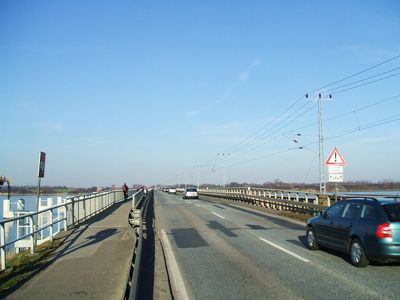
Rügen Causeway, road connecting Rügen Island with the City of Stralsund
Location: Vorpommern-Rügen District
Official opening: October 5, 1936
Part of: Strelasund Crossing
GPS coordinates: 54.31310,13.12250
Latest update: March 10, 2025 05:03

Helgoland Habitat
934 m
Nautineum Stralsund
957 m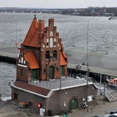
Lotsenhaus Stralsund
1.6 km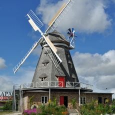
Mahnkesche Mühle
1.6 km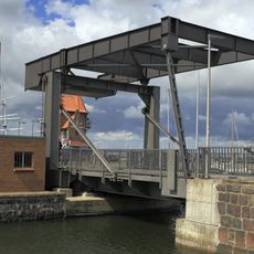
Querkanalbrücke Stralsund
1.6 km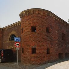
Franken-Kronwerk
1.6 km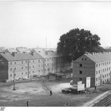
Frankenhof 7/8
1.5 km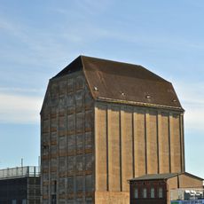
Hafenspeicher Silo III (Stralsund)
1.5 km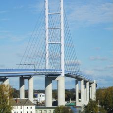
Rügen Bridge
457 m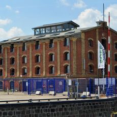
Hafenstraße 13
1.6 km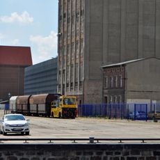
Hafenstraße 15
1.5 km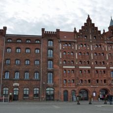
Hafenstraße 9, 10
1.6 km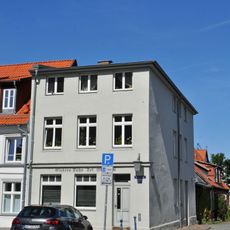
Wasserstraße 42
1.6 km
An der Fährbrücke 4 (Stralsund)
1.7 km
Am Querkanal 5
1.6 km
Neue Badenstraße 3 (Stralsund)
1.6 km
Am Querkanal 4 (Stralsund)
1.6 km
Am Querkanal 6 (Stralsund)
1.6 km
Am Querkanal 3
1.6 km
Am Querkanal 2 (Stralsund)
1.6 km
Wasserstraße 44
1.7 km
Wasserstraße 45
1.7 km
Wasserstraße 43
1.7 km
Wasserstraße 46 (Stralsund)
1.7 km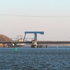
Ziegelgraben Bridge
938 m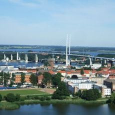
Ziegelgraben Bridge
988 m
Dienstgebäude/ Empfangsgebäude ehem. Kleinbahn
1.6 km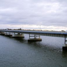
Rügen Causeway Bridge
643 mVisited this place? Tap the stars to rate it and share your experience / photos with the community! Try now! You can cancel it anytime.
Discover hidden gems everywhere you go!
From secret cafés to breathtaking viewpoints, skip the crowded tourist spots and find places that match your style. Our app makes it easy with voice search, smart filtering, route optimization, and insider tips from travelers worldwide. Download now for the complete mobile experience.

A unique approach to discovering new places❞
— Le Figaro
All the places worth exploring❞
— France Info
A tailor-made excursion in just a few clicks❞
— 20 Minutes