
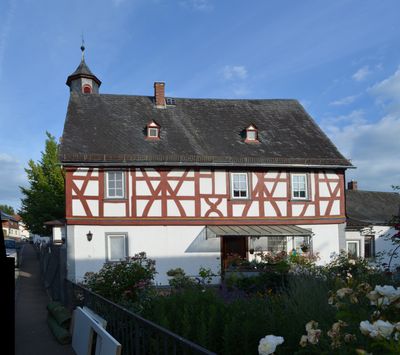
Eufinger Straße 26, Cultural heritage monument in Dauborn, Hesse, Germany
Location: Hünfelden
Address: Eufinger Straße
GPS coordinates: 50.32758,8.18450
Latest update: March 6, 2025 14:15
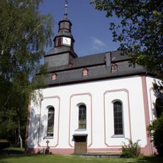
Evangelische Kirche Dauborn
765 m
Jüdischer Friedhof
2.2 km
Langgasse 45
2.2 km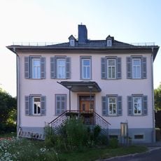
Evangelisches Pfarrhaus Dauborn
703 m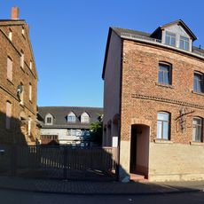
Friedrichstraße 1 und 6
250 m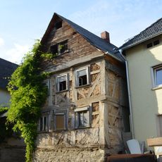
Eufinger Straße 29
49 m
Mühlstraße 2
236 m
Jüdischer Friedhof
2 km
Gesamtanlage Eufinger Straße
31 m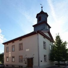
Eufinger Straße 28
14 m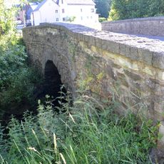
Wörsbachbrücke
602 m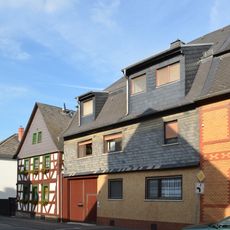
Gesamtanlage Neuherbergstrasse
574 m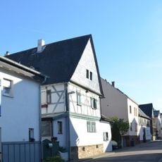
Langgasse 33
2.3 km
Nassauer Straße 2
482 m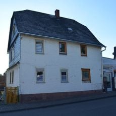
Friedrichstraße 2
218 m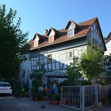
(Schulgäßchen)
38 m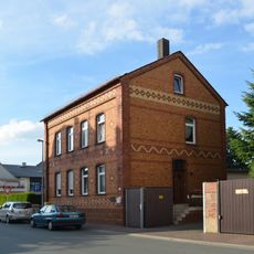
Grubenstraße 27
458 m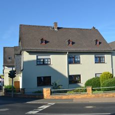
Neuherbergstraße 8
563 m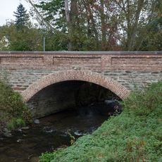
Wörsbach-Brücke
913 m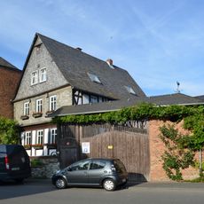
Nassauer Straße 28
516 m
Hohlgasse 8
2.2 km
Nassauer Straße 58
668 m
Evangelische Kirche Neesbach
2.2 km
Eufinger Straße 41
49 m
Langgasse 52
2.3 km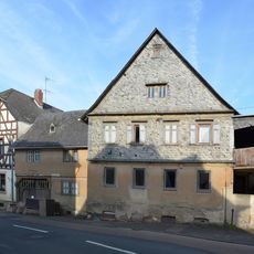
Nassauer Straße 60
680 m
Langgasse 49
2.1 km
Kurfürstliche Mühle
2.6 kmReviews
Visited this place? Tap the stars to rate it and share your experience / photos with the community! Try now! You can cancel it anytime.
Discover hidden gems everywhere you go!
From secret cafés to breathtaking viewpoints, skip the crowded tourist spots and find places that match your style. Our app makes it easy with voice search, smart filtering, route optimization, and insider tips from travelers worldwide. Download now for the complete mobile experience.

A unique approach to discovering new places❞
— Le Figaro
All the places worth exploring❞
— France Info
A tailor-made excursion in just a few clicks❞
— 20 Minutes