
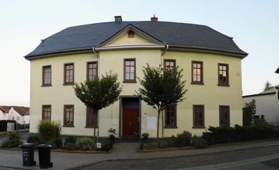
Ehemalige Schule, Cultural heritage monument in Würges, Hesse, Germany
Location: Bad Camberg
Address: Schulstraße
GPS coordinates: 50.28140,8.27469
Latest update: March 19, 2025 07:58
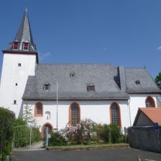
Evangelische Christuskirche Walsdorf
990 m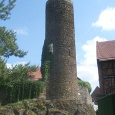
Hutturm
1.2 km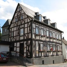
Alte Amtsapotheke
1.8 km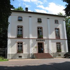
Rathaus
1.8 km
Schmiedgasse 6
1.8 km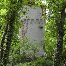
Liebersche´s Anwesen
1.7 km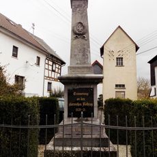
Kriegerdenkmal Walsdorf (Idstein)
1.2 km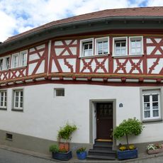
Grabenstraße 5
1.8 km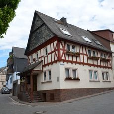
Grabenstraße 1
1.8 km
Strackgasse 8
1.9 km
Strackgasse 4
1.8 km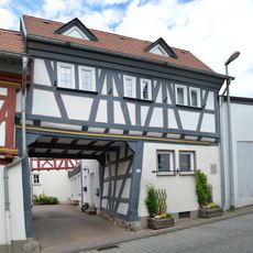
Grabenstraße 7
1.8 km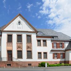
Altes Amtsgericht
1.5 km
Schulstraße 8
322 m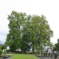
2 Winterlinden von Würges
590 m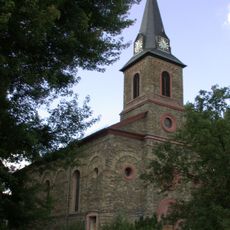
St. Ferrutius
130 m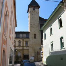
Untertorturm
1.8 km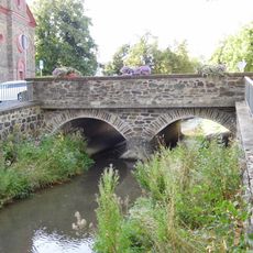
Emsbachbrücke
161 m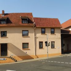
Alsdorfer Straße 1
401 m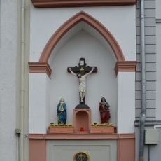
Neumarkt 3
1.7 km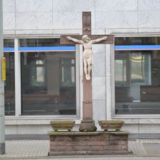
Straßenkreuz
1.8 km
Zur Heiligen Familie
748 m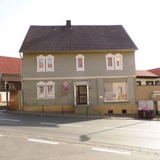
Frankfurter Straße 150
369 m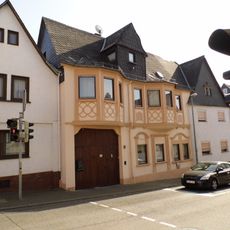
Schulstraße 3
346 m
Gesamtanlage Ortskern
1.1 km
Guttenberger Hof
1.8 km
Grabenstraße 2
1.8 km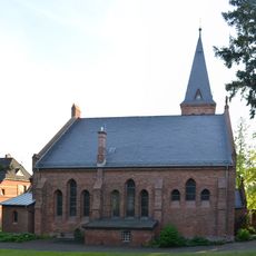
Evangelische Pfarrkirche
1.5 kmVisited this place? Tap the stars to rate it and share your experience / photos with the community! Try now! You can cancel it anytime.
Discover hidden gems everywhere you go!
From secret cafés to breathtaking viewpoints, skip the crowded tourist spots and find places that match your style. Our app makes it easy with voice search, smart filtering, route optimization, and insider tips from travelers worldwide. Download now for the complete mobile experience.

A unique approach to discovering new places❞
— Le Figaro
All the places worth exploring❞
— France Info
A tailor-made excursion in just a few clicks❞
— 20 Minutes