
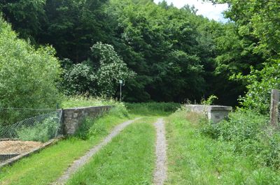
Bridge over the Quembach, listed bridge in Niederquembach, outside of the village on a dirt road
Location: Schöffengrund
Address: Außerhalb der Ortslage, Unter den Tannen 35641
GPS coordinates: 50.47473,8.44919
Latest update: September 23, 2025 16:46

Kröffelbach Monastery
3.2 km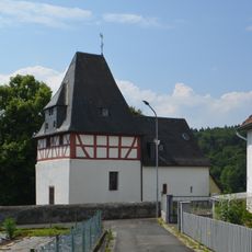
Evangelische Kirche Kröffelbach
3.6 km
Schwalbach church
2.9 km
Kirche
3.8 km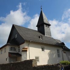
Evangelische Kirche Laufdorf
4.6 km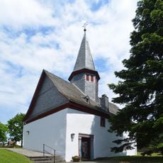
Evangelische Kirche (Niederquembach)
241 m
Evangelische Pfarrkirche Oberwetz
4.5 km
Evangelische Kirche
1.3 km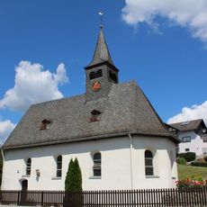
Kirche Oberquembach
2.4 km
Evangelische Kirche (Bonbaden)
3.6 km
Evangelische Kirche (Kraftsolms)
2.2 km
Evangelische Pfarrkirche
2.4 km
Hauptstraße 35 (Bonbaden)
3.3 km
Ehemalige Schule
3.3 km
Backhaus Oberquembach
2.4 km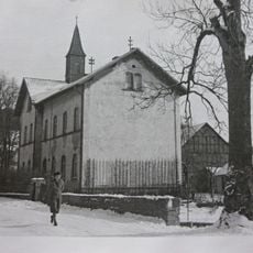
Ehemalige Schule
2.1 km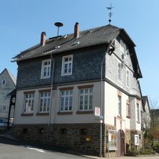
Ehemalige Schule
4.5 km
Ehemalige Schule
3.3 km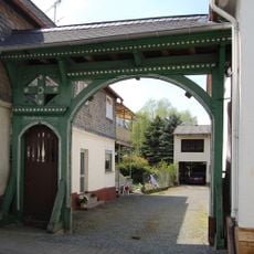
Hauptstraße 23
3.3 km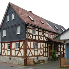
Wehrstraße 3
2.2 km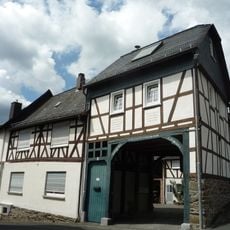
Kirchstraße 5
3.6 km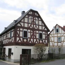
Hauptstraße 43
3.4 km
Ehemaliges Rathaus
3 km
Friedhof, Leichenhalle
4.4 km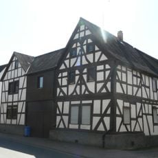
Rheinfelser Straße 14
4.5 km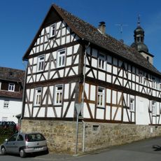
Bonbadener Straße 2
2.8 km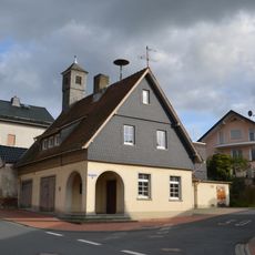
Ehemaliges Rat- und Spritzenhaus
4.2 km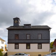
Alte Rathausschule
4.4 kmReviews
Visited this place? Tap the stars to rate it and share your experience / photos with the community! Try now! You can cancel it anytime.
Discover hidden gems everywhere you go!
From secret cafés to breathtaking viewpoints, skip the crowded tourist spots and find places that match your style. Our app makes it easy with voice search, smart filtering, route optimization, and insider tips from travelers worldwide. Download now for the complete mobile experience.

A unique approach to discovering new places❞
— Le Figaro
All the places worth exploring❞
— France Info
A tailor-made excursion in just a few clicks❞
— 20 Minutes