
Philipp-Keim-Straße 1, Cultural heritage monument in Diedenbergen, Hesse, Germany
Location: Diedenbergen
Address: Philipp-Keim-Straße
GPS coordinates: 50.06065,8.42003
Latest update: March 3, 2025 14:30

Evangelische Kirche Diedenbergen
113 m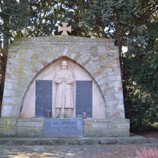
War memorial Marxheim
1.2 km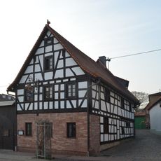
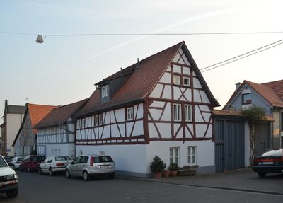
Casteller Straße 66
109 m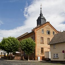
Ehemalige Schule/Rathaus
88 m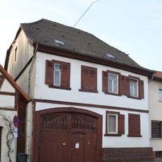
Casteller Straße 72
117 m
Grüne Straße 8
78 m
Pfarrgartenstraße 6
97 m
Ehemaliges Pfarrhaus
150 m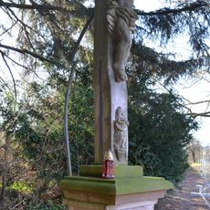
Wegkreuz
1.2 km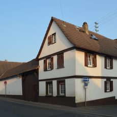
Casteller Straße 31
174 m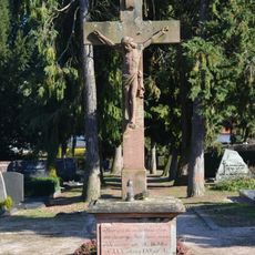
Friedhof Marxheim
1.2 km
Grüne Straße 30
229 m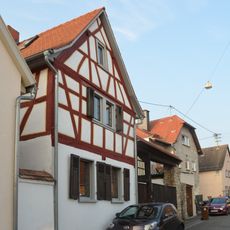
Hintergasse 38
143 m
Pfarrgartenstraße 4
94 m
Casteller Straße 49
119 m
Eichstraße 16
1.3 km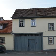
Pfarrgartenstraße 11
149 m
Casteller Straße 60
135 m
Eichstraße 14
1.4 km
Weilbacher Straße 5
23 m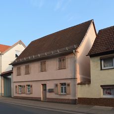
Casteller Straße 39
88 m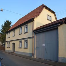
Pfarrgartenstraße 10
106 m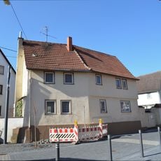
Eichstraße 7
1.4 km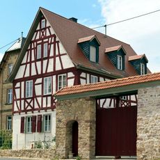
Pfarrhaus
1.3 km
Eichstraße 18
1.3 km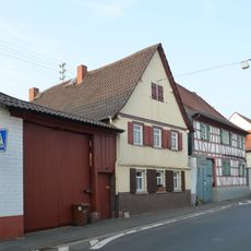
Casteller Straße 58
149 m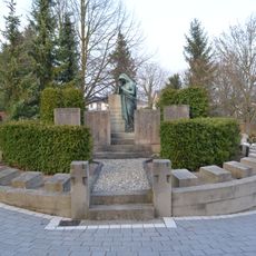
Friedhof, Gefallenendenkmale und Grabmal
315 m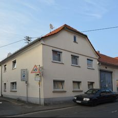
Casteller Straße 74
138 mVisited this place? Tap the stars to rate it and share your experience / photos with the community! Try now! You can cancel it anytime.
Discover hidden gems everywhere you go!
From secret cafés to breathtaking viewpoints, skip the crowded tourist spots and find places that match your style. Our app makes it easy with voice search, smart filtering, route optimization, and insider tips from travelers worldwide. Download now for the complete mobile experience.

A unique approach to discovering new places❞
— Le Figaro
All the places worth exploring❞
— France Info
A tailor-made excursion in just a few clicks❞
— 20 Minutes